Domagné
| Domagné Dovanieg | ||
|---|---|---|
|
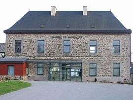
Town hall | ||
| ||
 Domagné | ||
|
Location within Brittany region 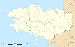 Domagné | ||
| Coordinates: 48°04′16″N 1°23′25″W / 48.0711°N 1.3903°WCoordinates: 48°04′16″N 1°23′25″W / 48.0711°N 1.3903°W | ||
| Country | France | |
| Region | Brittany | |
| Department | Ille-et-Vilaine | |
| Arrondissement | Fougères-Vitré | |
| Canton | Châteaubourg | |
| Intercommunality | Vitré | |
| Government | ||
| • Mayor (2014–2020) | Bernard Renou | |
| Area1 | 29.00 km2 (11.20 sq mi) | |
| Population (2008)2 | 2,163 | |
| • Density | 75/km2 (190/sq mi) | |
| Time zone | CET (UTC+1) | |
| • Summer (DST) | CEST (UTC+2) | |
| INSEE/Postal code | 35096 / 35113 | |
| Elevation | 43–96 m (141–315 ft) | |
| Website | http://www.domagne.fr/ | |
|
1 French Land Register data, which excludes lakes, ponds, glaciers > 1 km² (0.386 sq mi or 247 acres) and river estuaries. 2 Population without double counting: residents of multiple communes (e.g., students and military personnel) only counted once. | ||

Domagné (Breton: Dovanieg) is a commune in the Ille-et-Vilaine department in Brittany in northwestern France.
Population
Inhabitants of Domagné are called Domagnéens in French.
| Historical population | ||
|---|---|---|
| Year | Pop. | ±% |
| 1962 | 1,138 | — |
| 1968 | 1,232 | +8.3% |
| 1975 | 1,220 | −1.0% |
| 1982 | 1,487 | +21.9% |
| 1990 | 1,499 | +0.8% |
| 1999 | 1,633 | +8.9% |
| 2008 | 2,163 | +32.5% |
See also
References
External links
| Wikimedia Commons has media related to Domagné. |
This article is issued from Wikipedia - version of the 2/12/2016. The text is available under the Creative Commons Attribution/Share Alike but additional terms may apply for the media files.