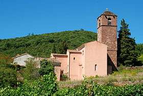
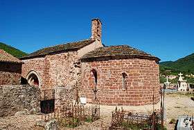
La Tour-sur-Orb
| La Tour-sur-Orb | ||
|---|---|---|
|
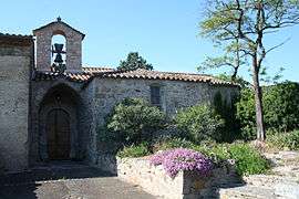
The church of La Tour-sur-Orb | ||
| ||
 La Tour-sur-Orb | ||
|
Location within Occitanie region  La Tour-sur-Orb | ||
| Coordinates: 43°39′15″N 3°08′59″E / 43.6542°N 3.1497°ECoordinates: 43°39′15″N 3°08′59″E / 43.6542°N 3.1497°E | ||
| Country | France | |
| Region | Occitanie | |
| Department | Hérault | |
| Arrondissement | Béziers | |
| Canton | Bédarieux | |
| Intercommunality | Monts d'Orb | |
| Government | ||
| • Mayor (2008–2014) | Marie-Aline Edo | |
| Area1 | 30.65 km2 (11.83 sq mi) | |
| Population (2008)2 | 1,172 | |
| • Density | 38/km2 (99/sq mi) | |
| Time zone | CET (UTC+1) | |
| • Summer (DST) | CEST (UTC+2) | |
| INSEE/Postal code | 34312 / 34260 | |
| Elevation |
204–745 m (669–2,444 ft) (avg. 228 m or 748 ft) | |
|
1 French Land Register data, which excludes lakes, ponds, glaciers > 1 km² (0.386 sq mi or 247 acres) and river estuaries. 2 Population without double counting: residents of multiple communes (e.g., students and military personnel) only counted once. | ||
.svg.png)
La Tour-sur-Orb is a commune in the Hérault department in the Occitanie region in southern France.
 |
 |
Population
| Historical population | ||
|---|---|---|
| Year | Pop. | ±% |
| 1962 | 615 | — |
| 1968 | 758 | +23.3% |
| 1975 | 812 | +7.1% |
| 1982 | 1,031 | +27.0% |
| 1990 | 1,039 | +0.8% |
| 1999 | 1,050 | +1.1% |
| 2008 | 1,172 | +11.6% |
See also
References
| Wikimedia Commons has media related to La Tour-sur-Orb. |
This article is issued from Wikipedia - version of the 11/12/2016. The text is available under the Creative Commons Attribution/Share Alike but additional terms may apply for the media files.