Candillargues
| Candillargues | |
|---|---|
|
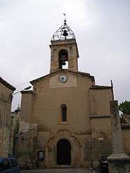
Church | |
 Candillargues | |
|
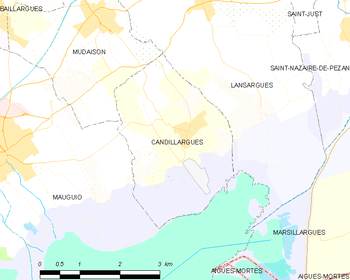
Location within Occitanie region  Candillargues | |
| Coordinates: 43°37′15″N 4°04′08″E / 43.6208°N 4.0689°ECoordinates: 43°37′15″N 4°04′08″E / 43.6208°N 4.0689°E | |
| Country | France |
| Region | Occitanie |
| Department | Hérault |
| Arrondissement | Montpellier |
| Canton | Mauguio |
| Intercommunality | Pays de l'Or |
| Government | |
| • Mayor (2008–2014) | Daniel Édo |
| Area1 | 8.23 km2 (3.18 sq mi) |
| Population (2008)2 | 1,269 |
| • Density | 150/km2 (400/sq mi) |
| Time zone | CET (UTC+1) |
| • Summer (DST) | CEST (UTC+2) |
| INSEE/Postal code | 34050 / 34130 |
| Elevation | 0–7 m (0–23 ft) |
|
1 French Land Register data, which excludes lakes, ponds, glaciers > 1 km² (0.386 sq mi or 247 acres) and river estuaries. 2 Population without double counting: residents of multiple communes (e.g., students and military personnel) only counted once. | |
Candillargues is a commune in the Hérault department in southern France.
Map
Population
| Historical population | ||
|---|---|---|
| Year | Pop. | ±% |
| 1962 | 286 | — |
| 1968 | 311 | +8.7% |
| 1975 | 292 | −6.1% |
| 1982 | 476 | +63.0% |
| 1990 | 687 | +44.3% |
| 1999 | 1,143 | +66.4% |
| 2008 | 1,269 | +11.0% |
History
During French revolution, Candillargues took the name Côme-de-la-Palus.
See also
References
| Wikimedia Commons has media related to Candillargues. |
This article is issued from Wikipedia - version of the 4/30/2014. The text is available under the Creative Commons Attribution/Share Alike but additional terms may apply for the media files.