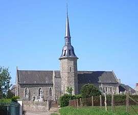
Saint-Jean-le-Blanc, Calvados
| Saint-Jean-le-Blanc | |
|---|---|
 | |
 Saint-Jean-le-Blanc | |
|
Location within Normandy region  Saint-Jean-le-Blanc | |
| Coordinates: 48°56′11″N 0°39′09″W / 48.9364°N 0.6525°WCoordinates: 48°56′11″N 0°39′09″W / 48.9364°N 0.6525°W | |
| Country | France |
| Region | Normandy |
| Department | Calvados |
| Arrondissement | Vire |
| Canton | Condé-sur-Noireau |
| Intercommunality | Condé |
| Government | |
| • Mayor (2008–2014) | Jean-Claude Hue |
| Area1 | 15.1 km2 (5.8 sq mi) |
| Population (2008)2 | 329 |
| • Density | 22/km2 (56/sq mi) |
| Time zone | CET (UTC+1) |
| • Summer (DST) | CEST (UTC+2) |
| INSEE/Postal code | 14597 / 14770 |
| Elevation |
137–290 m (449–951 ft) (avg. 223 m or 732 ft) |
|
1 French Land Register data, which excludes lakes, ponds, glaciers > 1 km² (0.386 sq mi or 247 acres) and river estuaries. 2 Population without double counting: residents of multiple communes (e.g., students and military personnel) only counted once. | |
Saint-Jean-le-Blanc is a commune in the Calvados department in the Normandy region in northwestern France.
Population
| Historical population | ||
|---|---|---|
| Year | Pop. | ±% |
| 1962 | 418 | — |
| 1968 | 401 | −4.1% |
| 1975 | 363 | −9.5% |
| 1982 | 291 | −19.8% |
| 1990 | 334 | +14.8% |
| 1999 | 318 | −4.8% |
| 2008 | 329 | +3.5% |
See also
References
| Wikimedia Commons has media related to Saint-Jean-le-Blanc (Calvados). |
This article is issued from Wikipedia - version of the 3/16/2016. The text is available under the Creative Commons Attribution/Share Alike but additional terms may apply for the media files.