Monte, Haute-Corse
| Monte U Monte | |
|---|---|
|
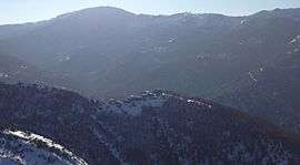
The village of Divina in winter | |
 Monte | |
|
Location within Corsica region 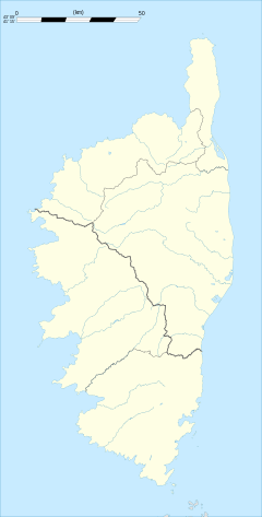 Monte | |
| Coordinates: 42°28′03″N 9°23′28″E / 42.4675°N 9.3911°ECoordinates: 42°28′03″N 9°23′28″E / 42.4675°N 9.3911°E | |
| Country | France |
| Region | Corsica |
| Department | Haute-Corse |
| Arrondissement | Corte |
| Canton | Alto-di-Casaconi |
| Government | |
| • Mayor (2008–2014) | François Pancrazi |
| Area1 | 14.8 km2 (5.7 sq mi) |
| Population (2008)2 | 539 |
| • Density | 36/km2 (94/sq mi) |
| Time zone | CET (UTC+1) |
| • Summer (DST) | CEST (UTC+2) |
| INSEE/Postal code | 2B166 / 20290 |
| Elevation |
18–1,218 m (59–3,996 ft) (avg. 640 m or 2,100 ft) |
|
1 French Land Register data, which excludes lakes, ponds, glaciers > 1 km² (0.386 sq mi or 247 acres) and river estuaries. 2 Population without double counting: residents of multiple communes (e.g., students and military personnel) only counted once. | |
Monte is a commune in the Haute-Corse department of France on the island of Corsica.
It shares the canton of Alto-di-Casaconi with Volpajola, Campile, Olmo, Prunelli-di-Casacconi, Ortiporio, Campitello, Canavaggia, Lento, Bigorno, Scolca, Crocicchia and Penta-Acquatella.[1]
Geography
Monte is at the foot of Monte Sant'Angelu, 18 kilometres (11 mi) from Borgo.
Population
| Historical population | ||
|---|---|---|
| Year | Pop. | ±% |
| 1962 | 196 | — |
| 1968 | 207 | +5.6% |
| 1975 | 189 | −8.7% |
| 1982 | 241 | +27.5% |
| 1990 | 303 | +25.7% |
| 1999 | 444 | +46.5% |
| 2008 | 539 | +21.4% |
See also
References
- ↑ "France, le trésor des régions: Département: Haut-Corse" (in French). Retrieved 2008-05-06..
| Wikimedia Commons has media related to Monte (Haute-Corse). |
This article is issued from Wikipedia - version of the 4/28/2016. The text is available under the Creative Commons Attribution/Share Alike but additional terms may apply for the media files.