Curgy
| Curgy | |
|---|---|
 | |
 Curgy | |
|
Location within Bourgogne-Franche-Comté region  Curgy | |
| Coordinates: 46°59′08″N 4°23′03″E / 46.9856°N 4.3842°ECoordinates: 46°59′08″N 4°23′03″E / 46.9856°N 4.3842°E | |
| Country | France |
| Region | Bourgogne-Franche-Comté |
| Department | Saône-et-Loire |
| Arrondissement | Autun |
| Canton | Autun-Sud |
| Intercommunality | Autunois |
| Area1 | 31.58 km2 (12.19 sq mi) |
| Population (2006)2 | 1,179 |
| • Density | 37/km2 (97/sq mi) |
| Time zone | CET (UTC+1) |
| • Summer (DST) | CEST (UTC+2) |
| INSEE/Postal code | 71162 / 71400 |
| Elevation |
299–537 m (981–1,762 ft) (avg. 450 m or 1,480 ft) |
|
1 French Land Register data, which excludes lakes, ponds, glaciers > 1 km² (0.386 sq mi or 247 acres) and river estuaries. 2 Population without double counting: residents of multiple communes (e.g., students and military personnel) only counted once. | |
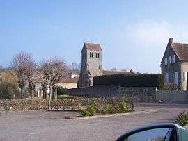
Curgy is a commune in the Saône-et-Loire department in the region of Bourgogne-Franche-Comté in eastern France.
See also
References
| Wikimedia Commons has media related to Curgy. |
This article is issued from Wikipedia - version of the 3/21/2016. The text is available under the Creative Commons Attribution/Share Alike but additional terms may apply for the media files.