Palol de Revardit
| Palol de Revardit | |||
|---|---|---|---|
| Municipality | |||
|
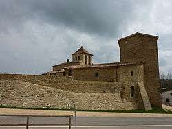
Palol de Revardit castle | |||
| |||
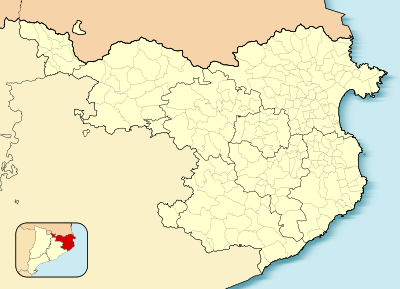 Palol de Revardit 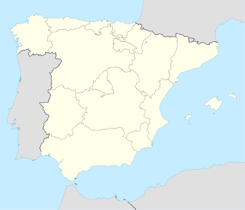 Palol de Revardit Location in Catalonia | |||
| Coordinates: ES 42°4′19″N 2°47′50″E / 42.07194°N 2.79722°ECoordinates: ES 42°4′19″N 2°47′50″E / 42.07194°N 2.79722°E | |||
| Country |
| ||
| Community |
| ||
| Province |
| ||
| Comarca | Pla de l'Estany | ||
| Government | |||
| • Mayor | Jordi Xargay Congost (2015)[1] | ||
| Area[2] | |||
| • Total | 18.0 km2 (6.9 sq mi) | ||
| Population (2014)[1] | |||
| • Total | 474 | ||
| • Density | 26/km2 (68/sq mi) | ||
| Website |
palol | ||

Palol de Revardit is a village in the province of Girona and autonomous community of Catalonia, Spain. The municipality covers an area of 18 square kilometres (6.9 sq mi), and, as of 2011, had a population of 471 people.[3]
References
- 1 2 "Ajuntament de Palol de Revardit". Generalitat of Catalonia. Retrieved 2015-11-13.
- ↑ "El municipi en xifres: Palol de Revardit". Statistical Institute of Catalonia. Retrieved 2015-11-23.
- ↑ "Girona: Población por municipios y sexo:Cifras oficiales de población resultantes de la revisión del Padrón municipal a 1 de enero de 2011". Instituto Nacional de Estadística. Retrieved 31 May 2012.
 |
Camós | Cornellà del Terri | | |
| Canet d'Adri | |
|||
| ||||
| | ||||
| Sant Gregori | Sant Julià de Ramis |
Municipalities of Pla de l'Estany | ||
|---|---|---|
This article is issued from Wikipedia - version of the 11/10/2016. The text is available under the Creative Commons Attribution/Share Alike but additional terms may apply for the media files.