Bogács
| Bogács | |
|---|---|
 Bogács Location of Bogács | |
| Coordinates: 47°54′11″N 20°31′55″E / 47.90312°N 20.53194°ECoordinates: 47°54′11″N 20°31′55″E / 47.90312°N 20.53194°E | |
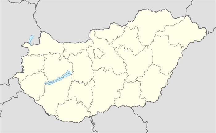
| Country |
|
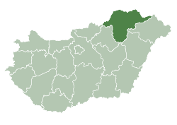
| County | Borsod-Abaúj-Zemplén |
| Area | |
| • Total | 24.69 km2 (9.53 sq mi) |
| Population (2004) | |
| • Total | 2,076 |
| • Density | 84.08/km2 (217.8/sq mi) |
| Time zone | CET (UTC+1) |
| • Summer (DST) | CEST (UTC+2) |
| Postal code | 3412 |
| Area code(s) | 49 |
Bogács is a village in Borsod-Abaúj-Zemplén county, Hungary.
_(Hungary).jpg)
_(Hungary).jpg)
_(Hungary).jpg)
_(Hungary).jpg)
_(Hungary).jpg)
_(Hungary).jpg)
External links
- Street map (Hungarian)
| Wikimedia Commons has media related to Bogács. |
This article is issued from Wikipedia - version of the 11/5/2016. The text is available under the Creative Commons Attribution/Share Alike but additional terms may apply for the media files.