Szemere
| Szemere | ||
|---|---|---|
| ||
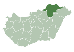
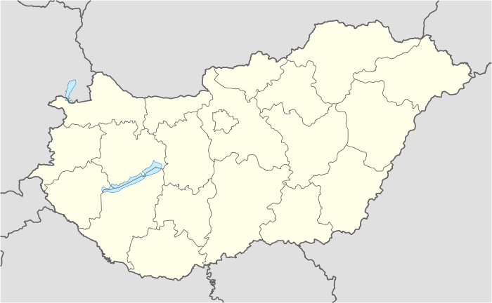 Szemere Location of Szemere in Hungary | ||
| Coordinates: 48°27′56″N 21°05′56″E / 48.4656°N 21.0989°E | ||
| Country | Hungary | |
| Region | Northern Hungary | |
| County | Borsod-Abaúj-Zemplén | |
| Subregion | Encs | |
| KSH code | 09830[1] | |
| Area[2] | ||
| • Total | 26.3 km2 (10.2 sq mi) | |
| Population (2009)[3] | ||
| • Total | 386 | |
| • Density | 15/km2 (38/sq mi) | |
| Time zone | CET (UTC+1) | |
| • Summer (DST) | CEST (UTC+2) | |
| Postal code | 3866 | |
| Area code | +36 46 | |

For the 19th-century Hungarian Prime Minister, see Bertalan Szemere.
Szemere is a village in Borsod-Abaúj-Zemplén County, Hungary.
References
- ↑ Szemere at the Hungarian Central Statistical Office (Hungarian).
- ↑ Szemere at the Hungarian Central Statistical Office (Hungarian).
- ↑ Szemere at the Hungarian Central Statistical Office (Hungarian). 2009
External links
- Street map (Hungarian)
This article is issued from Wikipedia - version of the 7/5/2014. The text is available under the Creative Commons Attribution/Share Alike but additional terms may apply for the media files.