Bácsszentgyörgy
| Bácsszentgyörgy | |
|---|---|
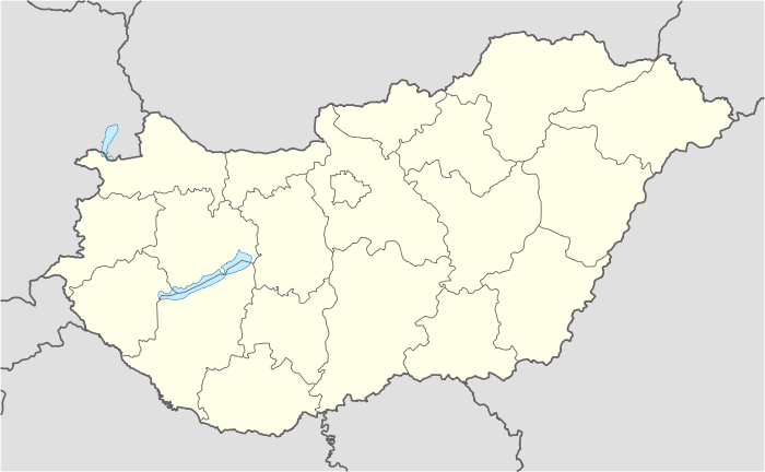 Bácsszentgyörgy Location of Bácsszentgyörgy, Hungary | |
| Coordinates: 46°01′59″N 18°57′00″E / 46.033°N 18.950°E | |
| Country |
|
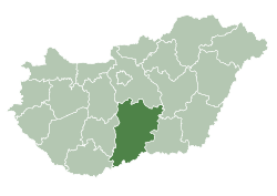
| County | Bács-Kiskun |
| Area | |
| • Total | 14.73 km2 (5.69 sq mi) |
| Population (2005) | |
| • Total | 207 |
| • Density | 14.05/km2 (36.4/sq mi) |
| Time zone | CET (UTC+1) |
| • Summer (DST) | CEST (UTC+2) |
| Postal code | 6551 |
| Area code(s) | 79 |
Bácsszentgyörgy (Serbo-Croatian: Đurić) is a border village and municipality in Bács-Kiskun county, in the Southern Great Plain region of southern Hungary towards Serbia.
Geography
It covers an area of 14.73 km2 (6 sq mi) and has a population of 207 people (2005).
References
External links
Coordinates: 45°58′N 19°02′E / 45.967°N 19.033°E
This article is issued from Wikipedia - version of the 8/17/2016. The text is available under the Creative Commons Attribution/Share Alike but additional terms may apply for the media files.