Tompa
For the script, see Dongba script. For the Romanian village of Tâmpa, called Tompa in Hungarian, see Băcia.
| Tompa | ||
|---|---|---|
| ||
 Tompa | ||
| Coordinates: 46°12′18″N 19°32′51″E / 46.20491°N 19.54740°E | ||
| Country |
| |
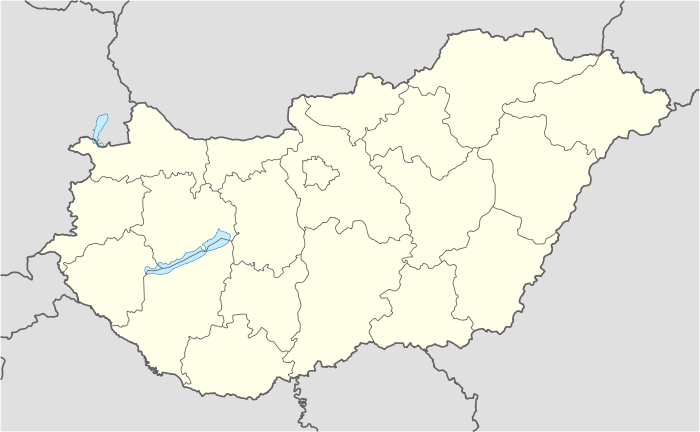
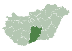
| County | Bács-Kiskun | |
| Area | ||
| • Total | 81.57 km2 (31.49 sq mi) | |
| Population (2008) | ||
| • Total | 4,770 | |
| • Density | 59.42/km2 (153.9/sq mi) | |
| Time zone | CET (UTC+1) | |
| • Summer (DST) | CEST (UTC+2) | |
| Postal code | 6422 | |
| Area code(s) | 77 | |

Tompa is a town in Bács-Kiskun county, Hungary.
The Tompa Block is composed of recomplete Miocene shale and has been an area of hydrocarbon exploration. As of April 2009 a well drilled by Toreador has produced natural gas. Design of a Hydraulic fracturing program to stimulate the well was finalized and operations to perform the treatment, were to start in May 2009. [1]
Also, Cuadrilla Resources lists Tompa in their prospectus.[2]:6 In Tompa 38,796 acres composed of recomplete Miocene were described to contain multi TCF Basin Centred TGS.
References
- ↑ "Toreador confirms gas in Hungary". Scandinavian Oil-Gas Online. I. 15 April 2009. Retrieved 19 May 2016.
- ↑ Andy Lukas (17 July 2013). "Approaches to informed and balanced debate about shale gas in the UK – How we are working with the Communities" (PDF). Fracking and our Gas Future. AJ Lucas Group Ltd. p. 45. Retrieved 18 May 2016.
Coordinates: 46°13′N 19°33′E / 46.217°N 19.550°E
This article is issued from Wikipedia - version of the 5/20/2016. The text is available under the Creative Commons Attribution/Share Alike but additional terms may apply for the media files.