Saint-Cyr-en-Pail
| Saint-Cyr-en-Pail | ||
|---|---|---|
| ||
 Saint-Cyr-en-Pail | ||
|
Location within Pays de la Loire region 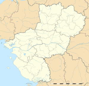 Saint-Cyr-en-Pail | ||
| Coordinates: 48°26′30″N 0°14′35″W / 48.4417°N 0.2431°WCoordinates: 48°26′30″N 0°14′35″W / 48.4417°N 0.2431°W | ||
| Country | France | |
| Region | Pays de la Loire | |
| Department | Mayenne | |
| Arrondissement | Mayenne | |
| Canton | Pré-en-Pail | |
| Intercommunality | Avaloirs | |
| Government | ||
| • Mayor (2008–2014) | Jean-Luc Lecourt | |
| Area1 | 20.65 km2 (7.97 sq mi) | |
| Population (1999)2 | 441 | |
| • Density | 21/km2 (55/sq mi) | |
| Time zone | CET (UTC+1) | |
| • Summer (DST) | CEST (UTC+2) | |
| INSEE/Postal code | 53208 / 53140 | |
| Elevation |
179–376 m (587–1,234 ft) (avg. 294 m or 965 ft) | |
|
1 French Land Register data, which excludes lakes, ponds, glaciers > 1 km² (0.386 sq mi or 247 acres) and river estuaries. 2 Population without double counting: residents of multiple communes (e.g., students and military personnel) only counted once. | ||

Saint-Cyr-en-Pail is a commune in the Mayenne department in north-western France.
See also
References
| Wikimedia Commons has media related to Saint-Cyr-en-Pail. |
This article is issued from Wikipedia - version of the 2/14/2015. The text is available under the Creative Commons Attribution/Share Alike but additional terms may apply for the media files.