Hazelton, California
| Hazelton | |
|---|---|
| Unincorporated community | |
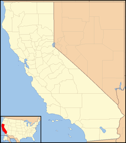 Hazelton  Hazelton Location in California | |
| Coordinates: 35°02′32″N 119°23′04″W / 35.04222°N 119.38444°WCoordinates: 35°02′32″N 119°23′04″W / 35.04222°N 119.38444°W | |
| Country | United States |
| State | California |
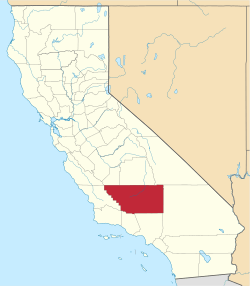
| County | Kern County |
| Elevation[1] | 771 ft (235 m) |
Hazelton (formerly, Sunset or Sunset Camp)[2] is an unincorporated community in Kern County, California.[1] It is located on the Sunset Railroad 1.5 miles (2.4 km) southeast of Maricopa,[2] at an elevation of 771 feet (235 m).[1]
The place was known as Sunset until the railroad arrived when it was renamed in honor of Hazelton Blodget, son of a local oilman.[2]
References
This article is issued from Wikipedia - version of the 7/5/2016. The text is available under the Creative Commons Attribution/Share Alike but additional terms may apply for the media files.