Atalaia do Norte
| Atalaia do Norte | |||
|---|---|---|---|
| Municipality | |||
| The Municipality of Atalaia do Norte | |||
| |||
| Nickname(s): "Pérola do Javari" (Javari's Pearl) | |||
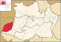 Location in the Estado do Amazonas | |||
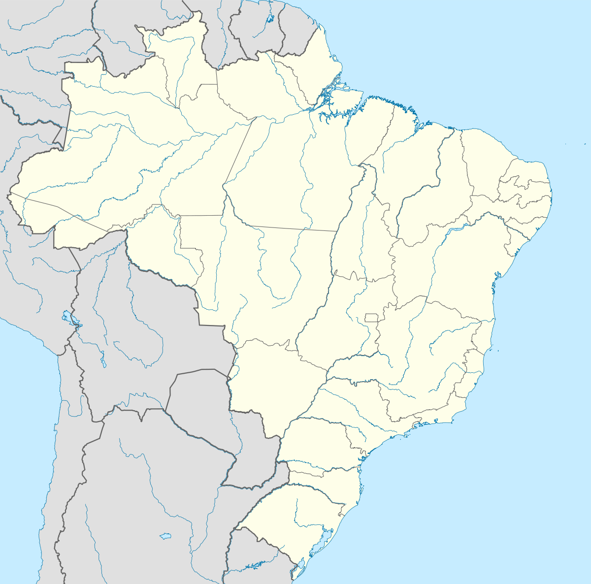 Atalaia do Norte Location in Brazil | |||
| Coordinates: 04°22′19″S 70°11′31″W / 4.37194°S 70.19194°WCoordinates: 04°22′19″S 70°11′31″W / 4.37194°S 70.19194°W | |||
| Country |
| ||
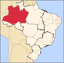
| Region | Norte | ||
| State |
| ||
| Founded | December 19, 1955 | ||
| Government | |||
| • Mayor | Nonato do Nascimento Tenazor (PDT) | ||
| Area | |||
| • Total | 76,355 km2 (29,481 sq mi) | ||
| Elevation | 65 m (213 ft) | ||
| Population (2008) | |||
| • Total | 13,682 | ||
| • Density | 6.92/km2 (17.9/sq mi) | ||
| [1] | |||
| Time zone | AST (UTC-4) | ||
| HDI (2000) | 0.559 – medium[2] | ||

Atalaia do Norte is the most western municipality in the Brazilian state of Amazonas. Its population was 13,682 (2008) and its area is 76,355 km²,[3] thus making it the third largest municipality in Amazonas and the seventh largest in Brazil.
References
- ↑ IBGE 2008 statistics
- ↑ "Archived copy". Archived from the original on 2009-10-03. Retrieved 2009-12-17. UNDP
- ↑ IBGE - "Archived copy". Archived from the original on 2008-06-11. Retrieved 2008-06-11.
Capital: Manaus | ||||||||||||||||||||||||
| Mesoregion Centro Amazonense |
|  | ||||||||||||||||||||||
| Mesoregion Norte Amazonense |
| |||||||||||||||||||||||
| Mesoregion Sudoeste Amazonense |
| |||||||||||||||||||||||
| Mesoregion Sul Amazonense |
| |||||||||||||||||||||||
This article is issued from Wikipedia - version of the 10/20/2016. The text is available under the Creative Commons Attribution/Share Alike but additional terms may apply for the media files.