Verin Akhtala
Coordinates: 41°10′N 44°46′E / 41.167°N 44.767°E
| Verin Akhtala Վերին Ախթալա | |
|---|---|
 Verin Akhtala | |
| Coordinates: 41°10′N 44°46′E / 41.167°N 44.767°E | |
| Country | Armenia |
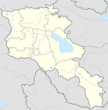
| Marz (Province) | Lori Province |
| Time zone | (UTC+4) |
| • Summer (DST) | (UTC+5) |
Verin Akhtala (Armenian: Վերին Ախթալա; also, Akhtala and Russified as Verkhnyaya Akhtala) was a village in the Lori Province of Armenia. In 1995 it was merged within the town of Shamlugh to become a district within Shamlugh.
References
- Verin Akhtala at GEOnet Names Server
- Report of the results of the 2001 Armenian Census, National Statistical Service of the Republic of Armenia

This article is issued from Wikipedia - version of the 11/26/2015. The text is available under the Creative Commons Attribution/Share Alike but additional terms may apply for the media files.