Kober kayaran
Coordinates: 41°00′20″N 44°38′10″E / 41.00556°N 44.63611°E
| Kober kayaran Քոբեր կայարան | |
|---|---|
 Kober kayaran | |
| Coordinates: 40°58′24″N 44°41′19″E / 40.97333°N 44.68861°E | |
| Country | Armenia |
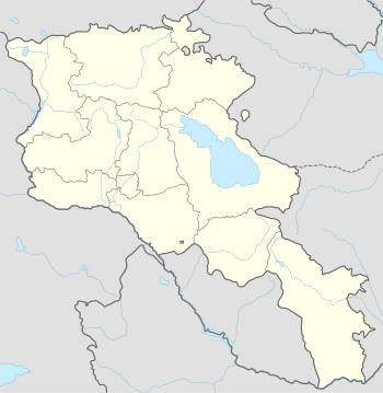
| Marz (Province) | Lori |
| Population (2011) | |
| • Total | 45 |
| Time zone | (UTC+4) |
Kober kayaran (Armenian: Քոբեր կայարան), is a village in the Lori Province of Armenia. It belongs to the municipality of Tumanyan.[1]
References

This article is issued from Wikipedia - version of the 6/30/2016. The text is available under the Creative Commons Attribution/Share Alike but additional terms may apply for the media files.