Lori Berd
| Lori Berd Լոռի բերդ | |
|---|---|
 Lori Berd Լոռի բերդ | |
| Coordinates: 41°0′45.50″N 44°24′45.39″E / 41.0126389°N 44.4126083°ECoordinates: 41°0′45.50″N 44°24′45.39″E / 41.0126389°N 44.4126083°E | |
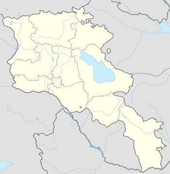
| Country | Armenia |
| Marz (Province) | Lori Province |
| Elevation | 1,379 m (4,524 ft) |
| Population (2001) | |
| • Total | 450 |
| Time zone | (UTC+4) |
Lori Berd (Armenian: Լոռի բերդ) is a village in the Lori Province of Armenia located just east of Stepanavan. It is the site of the medieval fortress "Lori Berd" located on a peninsula along the deep gorge cut by the Dzoraget and Tashir rivers. Lori Berd is situated at an altitude of 1379 m.[1]
Gallery
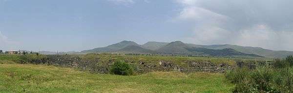
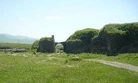 The medieval fortification walls of Lori Berd.
See also
Nearby towns
Nearby villages
References
- Lori Berd at GEOnet Names Server
- Report of the results of the 2001 Armenian Census, National Statistical Service of the Republic of Armenia

This article is issued from Wikipedia - version of the 10/24/2014. The text is available under the Creative Commons Attribution/Share Alike but additional terms may apply for the media files.