Temù
| Temù Temö | |
|---|---|
| Comune | |
| Comune di Temù | |
|
Temù | |
 Temù Location of Temù in Italy | |
| Coordinates: 46°14′58″N 10°28′8″E / 46.24944°N 10.46889°ECoordinates: 46°14′58″N 10°28′8″E / 46.24944°N 10.46889°E | |
| Country | Italy |
| Region | Lombardy |
| Province / Metropolitan city | Brescia (BS) |
| Frazioni | Pontagna, Villa Dalegno, Lecanù |
| Area | |
| • Total | 43.04 km2 (16.62 sq mi) |
| Elevation | 1,150 m (3,770 ft) |
| Population (2011)[1] | |
| • Total | 1,090 |
| • Density | 25/km2 (66/sq mi) |
| Time zone | CET (UTC+1) |
| • Summer (DST) | CEST (UTC+2) |
| Postal code | 25050 |
| Dialing code | 0364 |
| Patron saint | San Bartolomeo |
| Saint day | 24 agosto |
| Website | Official website |
.jpg)
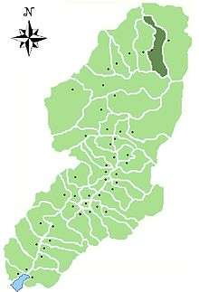
Location of Temù in Val Camonica
Temù (Temö in camunian dialect) is a comune in the province of Brescia, in Lombardy, Italy. It is situated on the river Oglio, in the upper Val Camonica.
References
This article is issued from Wikipedia - version of the 5/31/2015. The text is available under the Creative Commons Attribution/Share Alike but additional terms may apply for the media files.