Saint-Valère, Quebec
| Saint-Valère | |
|---|---|
| Municipality | |
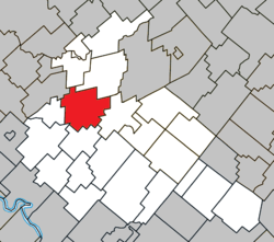 Location within Arthabaska RCM. | |
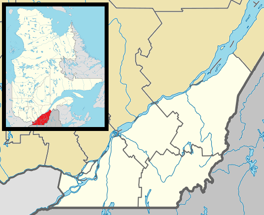 Saint-Valère Location in southern Quebec. | |
| Coordinates: 46°04′N 72°06′W / 46.067°N 72.100°WCoordinates: 46°04′N 72°06′W / 46.067°N 72.100°W[1] | |
| Country |
|
| Province |
|
| Region | Centre-du-Québec |
| RCM | Arthabaska |
| Constituted | January 1, 1862 |
| Government[2] | |
| • Mayor | Louis Hébert |
| • Federal riding | Richmond—Arthabaska |
| • Prov. riding | Arthabaska |
| Area[2][3] | |
| • Total | 108.80 km2 (42.01 sq mi) |
| • Land | 108.14 km2 (41.75 sq mi) |
| Population (2011)[3] | |
| • Total | 1,286 |
| • Density | 11.9/km2 (31/sq mi) |
| • Pop 2006-2011 |
|
| Time zone | EST (UTC−5) |
| • Summer (DST) | EDT (UTC−4) |
| Postal code(s) | G0P 1M0 |
| Area code(s) | 819 |
| Highways |
|
| Website |
www |
Saint-Valère is a municipality located in the Centre-du-Québec region of Quebec, Canada.
References
 |
Sainte-Anne-du-Sault / Saint-Rosaire | | ||
| Saint-Samuel | |
Victoriaville | ||
| ||||
| | ||||
| Sainte-Clotilde-de-Horton | Saint-Albert |
| Cities | |
|---|---|
| Municipalities | |
| Parishes | |
| Townships | |
| |
This article is issued from Wikipedia - version of the 2/14/2016. The text is available under the Creative Commons Attribution/Share Alike but additional terms may apply for the media files.