Saint-Rémi-de-Tingwick, Quebec
| Saint-Rémi-de-Tingwick | |
|---|---|
| Municipality | |
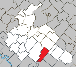 Location within Arthabaska RCM. | |
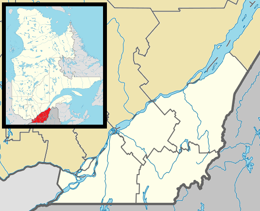 Saint-Rémi-de-Tingwick Location in southern Quebec. | |
| Coordinates: 45°52′N 71°49′W / 45.867°N 71.817°WCoordinates: 45°52′N 71°49′W / 45.867°N 71.817°W[1] | |
| Country |
|
| Province |
|
| Region | Centre-du-Québec |
| RCM | Arthabaska |
| Constituted | January 1, 1882 |
| Government[2] | |
| • Mayor | Estelle Luneau |
| • Federal riding | Richmond—Arthabaska |
| • Prov. riding | Drummond–Bois-Francs |
| Area[2][3] | |
| • Total | 73.80 km2 (28.49 sq mi) |
| • Land | 73.33 km2 (28.31 sq mi) |
| Population (2011)[3] | |
| • Total | 474 |
| • Density | 6.5/km2 (17/sq mi) |
| • Pop 2006-2011 |
|
| Postal code(s) | J0A 1K0 |
| Area code(s) | 819 |
| Highways | No major routes |
| Website |
www tingwick |
Saint-Rémi-de-Tingwick is a municipality located in the Centre-du-Québec region of Quebec, Canada.
References
 |
Chesterville | | ||
| Tingwick | |
Notre-Dame-de-Ham Saint-Adrien | ||
| ||||
| | ||||
| Asbestos | Wotton |
| Cities | |
|---|---|
| Municipalities | |
| Parishes | |
| Townships | |
| |
This article is issued from Wikipedia - version of the 4/7/2013. The text is available under the Creative Commons Attribution/Share Alike but additional terms may apply for the media files.