Monroy
For the surname, see Monroy (surname).
| Monroy | |
|---|---|
| municipality | |
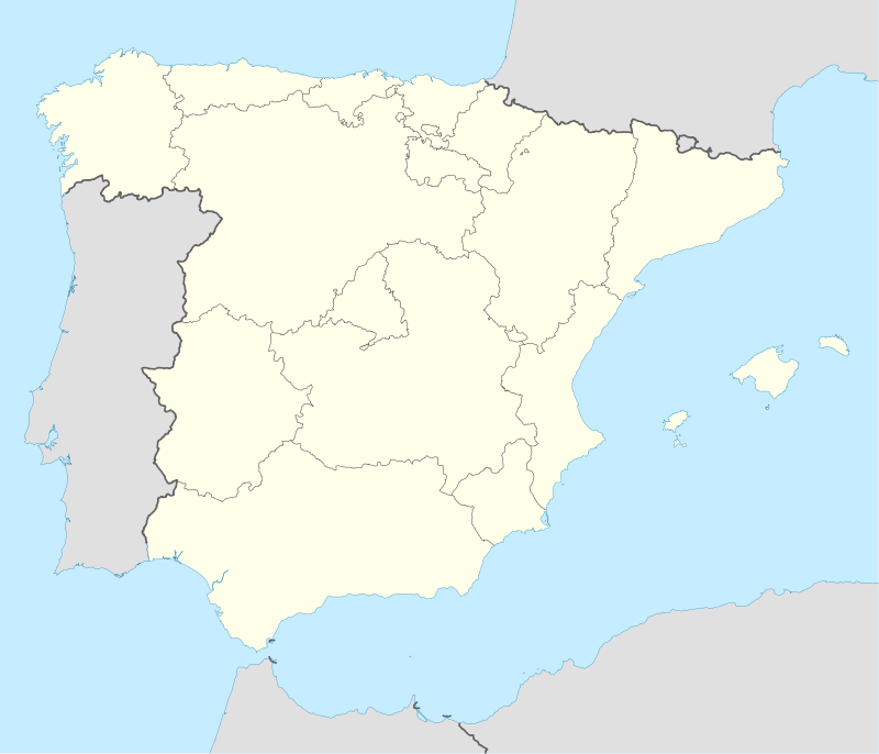 Monroy Location in Spain | |
| Coordinates: ES 39°38′N 6°12′W / 39.633°N 6.200°W | |
| Country | Spain |
| Autonomous community | Extremadura |
| Province | Cáceres |
| Comarca | Tajo-Salor |
| Government | |
| • Mayor | Telesforo Jiménez |
| Area | |
| • Total | 204.45 km2 (78.94 sq mi) |
| Elevation | 378 m (1,240 ft) |
| Population (2009) | |
| • Total | 994 |
| • Density | 4.9/km2 (13/sq mi) |
| Demonym(s) | Monroyegos |
| Time zone | CET (UTC+1) |
| • Summer (DST) | CEST (UTC+2) |
Monroy is a municipality located in the province of Cáceres, Extremadura, Spain.
It is located near the Monfragüe National Park.
This article is issued from Wikipedia - version of the 1/25/2016. The text is available under the Creative Commons Attribution/Share Alike but additional terms may apply for the media files.