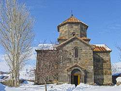
Mayisyan, Shirak
Coordinates: 40°51′11″N 43°49′46″E / 40.85306°N 43.82944°E
| Mayisyan Մայիսյան | |
|---|---|
 | |
 Mayisyan | |
| Coordinates: 40°51′11″N 43°49′46″E / 40.85306°N 43.82944°E | |
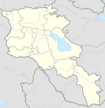
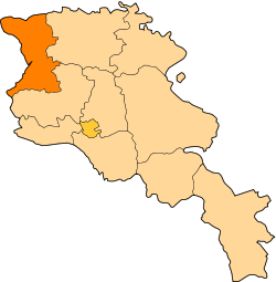
| Country | Armenia |
| Marz (Province) | Shirak |
| Population (2008) | |
| • Total | 1,652 |
| Time zone | (UTC+4) |
| • Summer (DST) | (UTC) |
Mayisyan (Armenian: Մայիսյան); formerly known as Ortakilisa, is a village in the Shirak Province of Armenia.
Population
Population per years is the following.[1]
| Year | 1831 | 1897 | 1926 | 1939 | 1959 | 1970 | 1979 | 1989 | 2001 | 2004 |
|---|---|---|---|---|---|---|---|---|---|---|
| Pop. | 231 | 677 | 774 | 967 | 1004 | 1065 | 1210 | 1412 | 1653 | 1689 |
References
- ↑ "Dictionary of Armenian residences (Հայաստանի հանրապետության բնակավայրերի բառարան), page 132" (PDF). Retrieved April 18, 2014.
- Mayisyan, Shirak at GEOnet Names Server
- World Gazeteer: Armenia – World-Gazetteer.com
- Report of the results of the 2001 Armenian Census, National Statistical Service of the Republic of Armenia
This article is issued from Wikipedia - version of the 9/11/2016. The text is available under the Creative Commons Attribution/Share Alike but additional terms may apply for the media files.