Zuygaghbyur
Coordinates: 41°01′16″N 43°54′13″E / 41.02111°N 43.90361°E
| Zuygaghbyur Զույգաղբյուր | |
|---|---|
 Zuygaghbyur | |
| Coordinates: 41°01′16″N 43°54′13″E / 41.02111°N 43.90361°E | |
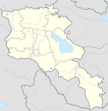
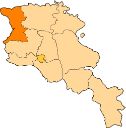
| Country | Armenia |
| Marz (Province) | Shirak |
| Population (2001) | |
| • Total | 417 |
| Time zone | (UTC+4) |
| • Summer (DST) | (UTC+5) |
Zuygaghbyur (Armenian: Զույգաղբյուր, also Romanized as Zuygaghpyur and Zuygakhpyur; formerly, Chiftali) is a village in the Shirak Province of Armenia.
Population
Population per years is the following.[1]
| Year | 1873 | 1897 | 1926 | 1939 | 1959 | 1970 | 1979 | 2001 | 2004 |
|---|---|---|---|---|---|---|---|---|---|
| Pop. | 311 | 549 | 499 | 709 | 500 | 365 | 330 | 417 | 419 |
References
- ↑ "Dictionary of Armenian residences (Հայաստանի հանրապետության բնակավայրերի բառարան), page 79" (PDF). Retrieved April 18, 2014.
- Zuygaghbyur at GEOnet Names Server
- Report of the results of the 2001 Armenian Census, National Statistical Service of the Republic of Armenia
This article is issued from Wikipedia - version of the 10/24/2015. The text is available under the Creative Commons Attribution/Share Alike but additional terms may apply for the media files.