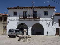
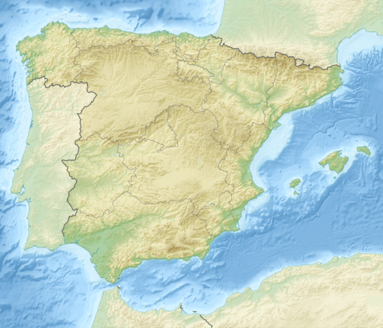
Gúdar
| Gúdar, Spain | |
|---|---|
 | |
 | |
| Coordinates: 40°27′N 0°43′W / 40.450°N 0.717°WCoordinates: 40°27′N 0°43′W / 40.450°N 0.717°W | |
| Country | Spain |
| Autonomous community | Aragon |
| Province | Teruel |
| Municipality | Gúdar |
| Area | |
| • Total | 60.77 km2 (23.46 sq mi) |
| Elevation | 1,581 m (5,187 ft) |
| Population (2015) | |
| • Total | 77 |
| • Density | 1.3/km2 (3.3/sq mi) |
| Time zone | CET (UTC+1) |
| • Summer (DST) | CEST (UTC+2) |
Gúdar is a municipality located in the province of Teruel, Aragon, Spain. According to the 2004 census (INE), the municipality had a population of 80 inhabitants.
This town gives its name to the Sierra de Gúdar, one of the main ranges of the Iberian System.
This article is issued from Wikipedia - version of the 8/29/2016. The text is available under the Creative Commons Attribution/Share Alike but additional terms may apply for the media files.