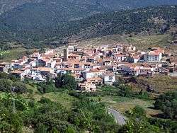
Formiche Alto
| Formiche Alto | ||
|---|---|---|
 | ||
| ||
 Formiche Alto | ||
| Coordinates: 40°19′N 0°54′W / 40.317°N 0.900°WCoordinates: 40°19′N 0°54′W / 40.317°N 0.900°W | ||
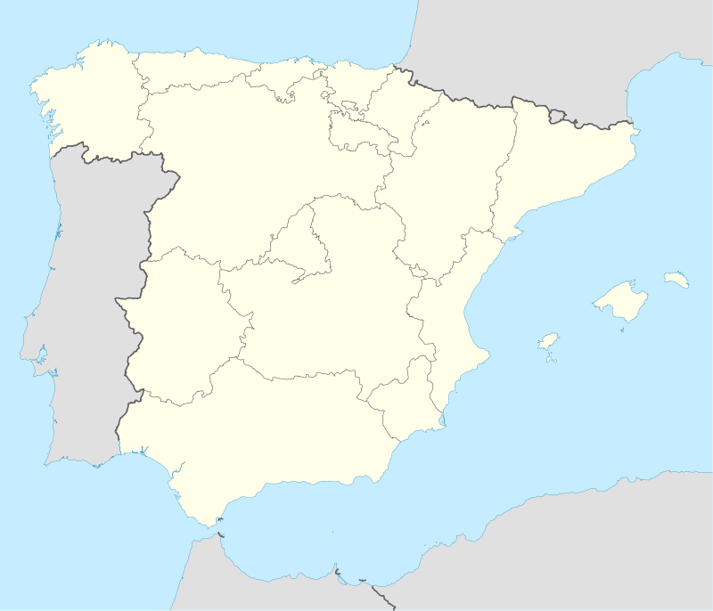
| Country | Spain | |
| Autonomous community | Aragon | |
| Province | subdivision_type3 = Comarca | |
| Area | ||
| • Total | 78.17 km2 (30.18 sq mi) | |
| Elevation | 1,108 m (3,635 ft) | |
| Population (2015) | ||
| • Total | 180 | |
| • Density | 2.3/km2 (6.0/sq mi) | |
| Time zone | CET (UTC+1) | |
| • Summer (DST) | CEST (UTC+2) | |
Formiche Alto is a municipality located in the province of Teruel, Aragon, Spain. According to the 2004 census (INE), the municipality had a population of 191 inhabitants. According to the 2010 census the municipality has a population of 190 inhabitants.[1] Its postal code is 44440
This town is located in the Gúdar-Javalambre comarca, at the feet of the Sierra de Camarena, Sistema Ibérico.
See also
References
External links
| Wikimedia Commons has media related to Formiche Alto. |
This article is issued from Wikipedia - version of the 8/29/2016. The text is available under the Creative Commons Attribution/Share Alike but additional terms may apply for the media files.