Dormelles
| Dormelles | |
|---|---|
 Dormelles | |
|
Location within Île-de-France region 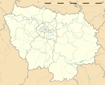 Dormelles | |
| Coordinates: 48°18′58″N 2°54′05″E / 48.3161°N 2.9014°ECoordinates: 48°18′58″N 2°54′05″E / 48.3161°N 2.9014°E | |
| Country | France |
| Region | Île-de-France |
| Department | Seine-et-Marne |
| Arrondissement | Fontainebleau |
| Canton | Moret-sur-Loing |
| Intercommunality | Bocage |
| Government | |
| • Mayor (2008–2014) | Francis Largillière |
| Area1 | 13.02 km2 (5.03 sq mi) |
| Population (2006)2 | 854 |
| • Density | 66/km2 (170/sq mi) |
| Time zone | CET (UTC+1) |
| • Summer (DST) | CEST (UTC+2) |
| INSEE/Postal code | 77161 / 77130 |
| Elevation | 62–136 m (203–446 ft) |
|
1 French Land Register data, which excludes lakes, ponds, glaciers > 1 km² (0.386 sq mi or 247 acres) and river estuaries. 2 Population without double counting: residents of multiple communes (e.g., students and military personnel) only counted once. | |
Dormelles is a commune in the Seine-et-Marne department in the Île-de-France region in north-central France.
History
Dormelles was the site of a battle circa 599 between rival Merovingian kings. Chlothar II, ruler of Neustria, faced his cousins, Theuderic II, King of Burgundy, and Theudebert II, King of Austrasia. Chlothar's army suffered a heavy defeat and he fled the field.
Demographics
Inhabitants of Dormelles are called Dormellois.
See also
References
External links
| Wikimedia Commons has media related to Dormelles. |
- 1999 Land Use, from IAURIF (Institute for Urban Planning and Development of the Paris-Île-de-France région) (English)
- French Ministry of Culture list for Dormelles (French)
- Map of Dormelles on Michelin (English)
This article is issued from Wikipedia - version of the 2/12/2016. The text is available under the Creative Commons Attribution/Share Alike but additional terms may apply for the media files.