Agugliano
| Agugliano | |
|---|---|
| Comune | |
| Comune di Agugliano | |
 Agugliano Location of Agugliano in Italy | |
| Coordinates: 43°33′N 13°23′E / 43.550°N 13.383°ECoordinates: 43°33′N 13°23′E / 43.550°N 13.383°E | |
| Country | Italy |
| Region | Marche |
| Province / Metropolitan city | Province of Ancona (AN) |
| Frazioni | Castel D'Emilio, la Chiusa, il Molino |
| Area | |
| • Total | 21.7 km2 (8.4 sq mi) |
| Elevation | 203 m (666 ft) |
| Population (Dec. 2004) | |
| • Total | 4,348 |
| • Density | 200/km2 (520/sq mi) |
| Demonym(s) | Aguglianesi |
| Time zone | CET (UTC+1) |
| • Summer (DST) | CEST (UTC+2) |
| Postal code | 60020 |
| Dialing code | 071 |
| Website | Official website |
Agugliano is a comune (municipality) in the Province of Ancona in the Italian region Marche, located about 13 kilometres (8 mi) southwest of Ancona. As of 31 December 2004, it had a population of 4,348 and an area of 21.7 square kilometres (8.4 sq mi).[1]
The municipality of Agugliano contains the frazioni (subdivisions, mainly villages and hamlets) Castel D'Emilio, la Chiusa, and il Molino.
Agugliano borders the following municipalities: Ancona, Camerata Picena, Jesi, Polverigi.
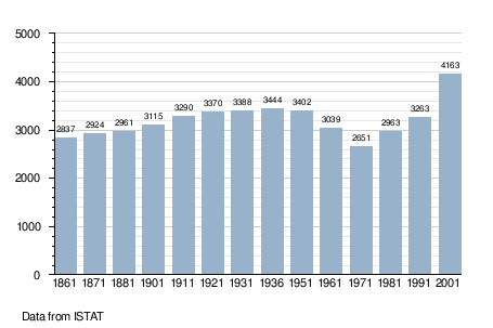
Demographic evolution
References
External links
This article is issued from Wikipedia - version of the 10/5/2016. The text is available under the Creative Commons Attribution/Share Alike but additional terms may apply for the media files.