Épineu-le-Chevreuil
| Épineu-le-Chevreuil | |
|---|---|
|
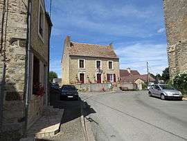
Town hall | |
 Épineu-le-Chevreuil | |
|
Location within Pays de la Loire region 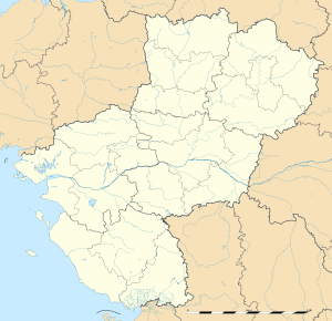 Épineu-le-Chevreuil | |
| Coordinates: 48°02′19″N 0°06′51″W / 48.0386°N 0.1142°WCoordinates: 48°02′19″N 0°06′51″W / 48.0386°N 0.1142°W | |
| Country | France |
| Region | Pays de la Loire |
| Department | Sarthe |
| Arrondissement | La Flèche |
| Canton | Loué |
| Intercommunality | Communauté de communes des Pays de Loué |
| Government | |
| • Mayor (2008–2014) | François Gautier |
| Area1 | 14.70 km2 (5.68 sq mi) |
| Population (2006 [1])2 | 273 |
| • Density | 19/km2 (48/sq mi) |
| Time zone | CET (UTC+1) |
| • Summer (DST) | CEST (UTC+2) |
| INSEE/Postal code | 72126 / 72540 |
| Elevation | 72–161 m (236–528 ft) |
|
1 French Land Register data, which excludes lakes, ponds, glaciers > 1 km² (0.386 sq mi or 247 acres) and river estuaries. 2 Population without double counting: residents of multiple communes (e.g., students and military personnel) only counted once. | |
Épineu-le-Chevreuil is a commune in the Sarthe department in the Pays de la Loire region in north-western France.
Geography
The river Vègre flows southwestward through the eastern part of the commune, then forms part of its southern border.
See also
References
- ↑ http://www.insee.fr/fr/ppp/bases-de-donnees/recensement/populations-legales/departement.asp?dep=72#dep_B Populations légales 2006 publiées par l’INSEE le 1er janvier 2009
| Wikimedia Commons has media related to Épineu-le-Chevreuil. |
This article is issued from Wikipedia - version of the 7/14/2016. The text is available under the Creative Commons Attribution/Share Alike but additional terms may apply for the media files.