Warur
| Warur Warur / Varur | |
|---|---|
| village | |
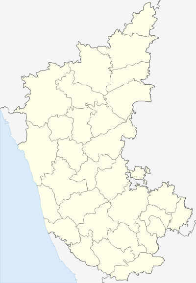 Warur  Warur Location in Karnataka, India | |
| Coordinates: 14°34′58″N 75°27′33″E / 14.58264°N 75.45929°ECoordinates: 14°34′58″N 75°27′33″E / 14.58264°N 75.45929°E | |
| Country |
|
| State | Karnataka |
| District | Dharwad |
| Talukas | Hubli |
| Government | |
| • Type | Panchayat raj |
| • Body | Gram panchayat |
| Languages | |
| • Official | Kannada |
| Time zone | IST (UTC+5:30) |
| PIN | 581207 |
| ISO 3166 code | IN-KA |
| Vehicle registration | KA |
| Nearest city | Dharwad |
| Website |
karnataka |
Warur/Varur is a village in the southern state of Karnataka, India.It is located in the Hubli taluk of Dharwad district in Karnataka.[1]
See also
References
External links
This article is issued from Wikipedia - version of the 10/16/2016. The text is available under the Creative Commons Attribution/Share Alike but additional terms may apply for the media files.