Yadwad
| Yadwad | |
|---|---|
| village(hobali) | |
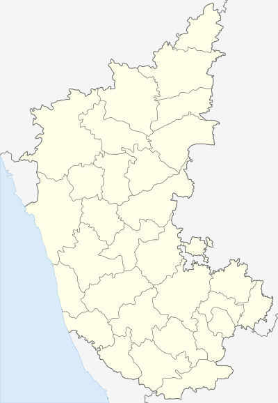 Yadwad  Yadwad Location in Karnataka, India | |
| Coordinates: 16°08′N 74°49′E / 16.14°N 74.81°ECoordinates: 16°08′N 74°49′E / 16.14°N 74.81°E | |
| Country |
|
| State | Karnataka |
| District | Belgaum |
| Talukas | Gokak |
| Government | |
| • Type | Panchayat raj |
| Population (2001) | |
| • Total | 8,809 |
| Languages | |
| • Official | Kannada |
| Time zone | IST (UTC+5:30) |
| PIN | 591136 |
| Telephone code | 08334 |
| Vehicle registration | KA 49 |
| Nearest city | Mudhol |
| Lok Sabha constituency | Belgaum |
| Vidhan Sabha constituency | Arabhavi constituency |
| Climate | Dry weather during summer with low Humidity, Moderately rains in monsoon season, in winter season temperature will be less than 20 degrees in night (Köppen) |
Yadwad is a village in the southern state of Karnataka, India.[1][2] It is located in the Gokak taluk of Belgaum district in Karnataka.
Demographics
In 2001 India census, Yadwad had a population of 8809 with 4447 males and 4362 females.[1]
See also
References
- 1 2 Village code= 40200 "Census of India : Villages with population 5000 & above". Registrar General & Census Commissioner, India. Retrieved 2008-12-18.
- ↑ "Yahoomaps India : Yadwad, Belgaum, Karnataka". Retrieved 2008-12-18.
External links
This article is issued from Wikipedia - version of the 10/16/2016. The text is available under the Creative Commons Attribution/Share Alike but additional terms may apply for the media files.