Vemulawada, Karimnagar district
| Vemulawada వేములవాడ | |
|---|---|
| Town | |
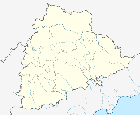 Vemulawada  Vemulawada Location in Telangana, India | |
| Coordinates: 18°28′N 78°53′E / 18.467°N 78.883°ECoordinates: 18°28′N 78°53′E / 18.467°N 78.883°E | |
| Country | India |
| State | Telangana |
| District | Karimnagar |
| Founded by | Chalukyas |
| Named for | Veda murthula wada |
| Government | |
| • Type | Municipal council |
| • Body | Vemulawada Nagara Panchayat |
| Area[1] | |
| • Total | 28.89 km2 (11.15 sq mi) |
| Population (2011) | |
| • Total | 33,706 |
| • Density | 1,200/km2 (3,000/sq mi) |
| Languages | |
| • Official | Telugu |
| Time zone | IST (UTC+5:30) |
| PIN | 505302 |
| Vehicle registration | TS-02 |
| Lok Sabha constituency | Karimnagar |
| Assembly constituency | Vemulawada |
| Website | www.vemulawadatemple.org |
Vemulawada is a census town in Karimnagar district of the Indian state of Telangana.[2] It is notable for the Sri Raja Rajeshwara temple, a site of pilgrimage for Hindu worshipers.
See also
References
- ↑ "District Census Handbook – Karimnagar" (PDF). Census of India. pp. 12,50. Retrieved 9 June 2016.
- ↑ "District Level Mandal wise list of villages in Karimnagar district" (PDF). Chief Commissioner of Land Administration. National Informatics Centre. Archived from the original (PDF) on 19 December 2014. Retrieved 5 March 2016.
| District headquarters | |
|---|---|
| Mandals | |
| Cities | |
| Towns | |
| Census towns | |
| Lok Sabha constituencies | |
| Assembly constituencies | |
This article is issued from Wikipedia - version of the 11/4/2016. The text is available under the Creative Commons Attribution/Share Alike but additional terms may apply for the media files.