Tring-Jonction, Quebec
| Tring-Jonction | |
|---|---|
| Village municipality | |
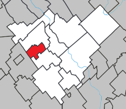 Location within Robert-Cliche RCM. | |
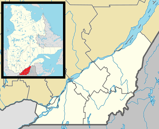 Tring-Jonction Location in southern Quebec. | |
| Coordinates: 46°16′N 70°59′W / 46.267°N 70.983°WCoordinates: 46°16′N 70°59′W / 46.267°N 70.983°W[1] | |
| Country |
|
| Province |
|
| Region | Chaudière-Appalaches |
| RCM | Robert-Cliche |
| Constituted | November 21, 1918 |
| Named for | Tring[1] |
| Government[2] | |
| • Mayor | Mario Groleau |
| • Federal riding | Beauce |
| • Prov. riding | Beauce-Nord |
| Area[2][3] | |
| • Total | 27.30 km2 (10.54 sq mi) |
| • Land | 25.60 km2 (9.88 sq mi) |
| Population (2011)[3] | |
| • Total | 1,473 |
| • Density | 57.5/km2 (149/sq mi) |
| • Pop 2006-2011 |
|
| • Dwellings | 645 |
| Time zone | EST (UTC−5) |
| • Summer (DST) | EDT (UTC−4) |
| Postal code(s) | G0N 1X0 |
| Area code(s) | 418 and 581 |
| Highways |
|
| Website |
www |
Tring-Jonction is a village in the Robert-Cliche Regional County Municipality in the Chaudière-Appalaches region of Quebec, Canada. Its population is 1,473 as of 2011.
It is named after Tring, a town in Hertfordshire, England. "Jonction" refers to the Quebec Central railway station that was built in 1881.[1]
References
 |
Saint-Frédéric | | ||
| |
||||
| ||||
| | ||||
| Sacré-Coeur-de-Jésus | Saint-Jules |
| Cities & Towns | |
|---|---|
| Municipalities | |
| Parishes | |
| Villages | |
| |
This article is issued from Wikipedia - version of the 5/23/2013. The text is available under the Creative Commons Attribution/Share Alike but additional terms may apply for the media files.