Toyono, Osaka
| Toyono 豊能町 | ||
|---|---|---|
| Town | ||
| ||
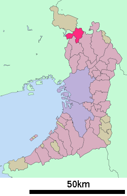 Location of Toyono in Osaka Prefecture | ||
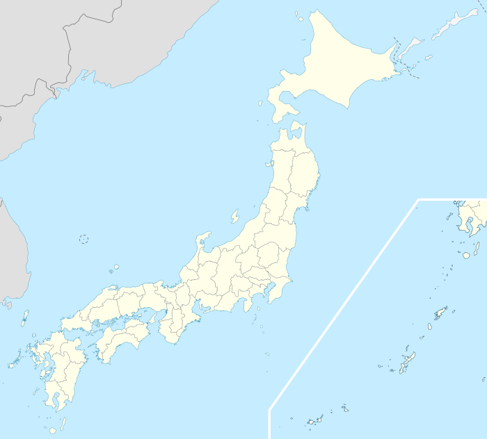 Toyono Location in Japan | ||
| Coordinates: 34°55′N 135°30′E / 34.917°N 135.500°ECoordinates: 34°55′N 135°30′E / 34.917°N 135.500°E | ||
| Country | Japan | |
| Region |
Kansai Kinki | |
| Prefecture | Osaka Prefecture | |
| District | Toyono | |
| Government | ||
| • Mayor | Ryuichi Tanaka | |
| Area | ||
| • Total | 34.37 km2 (13.27 sq mi) | |
| Population (December 1, 2009) | ||
| • Total | 22,296 | |
| • Density | 650/km2 (1,700/sq mi) | |
| Time zone | Japan Standard Time (UTC+9) | |
| City hall address |
414-1 Yono, Toyono-chō, Toyono-gun, Osaka-fu 563-0292 | |
| Website |
www | |

Toyono (豊能町 Toyono-chō) is a town located in Toyono District, Osaka Prefecture, Japan.
As of 2009, the town has an estimated population of 22,296 and a density of 649 persons per km². The total area is 34.37 km².
Transportation
railways
- Nose Railway
- Myoken Line
Buses
- Hankyu Bus
roads
- national routes
- National Route 477
- National Route 423
External links
 Media related to Toyono, Osaka at Wikimedia Commons
- Toyono official website (Japanese)
| Wards of Osaka | ||
|---|---|---|
| Wards of Sakai | ||
| Core cities | ||
| Special cities | ||
| Cities | ||
| Minamikawachi District | ||
| Mishima District | ||
| Senboku District | ||
| Sennan District | ||
| Toyono District | ||
This article is issued from Wikipedia - version of the 11/6/2015. The text is available under the Creative Commons Attribution/Share Alike but additional terms may apply for the media files.