Tateyama, Toyama
For other uses, see Mount Tate.
| Tateyama 立山町 | ||
|---|---|---|
| Town | ||
| ||
.png) Location of Tateyama in Toyama Prefecture | ||
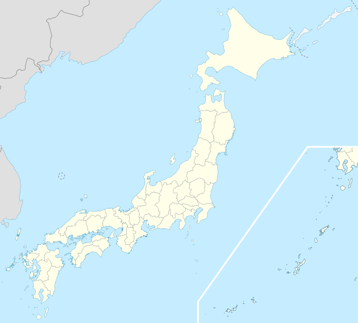 Tateyama Location in Japan | ||
| Coordinates: 36°40′N 137°19′E / 36.667°N 137.317°ECoordinates: 36°40′N 137°19′E / 36.667°N 137.317°E | ||
| Country | Japan | |
| Region |
Chūbu Hokuriku | |
| Prefecture | Toyama Prefecture | |
| District | Nakaniikawa | |
| Area | ||
| • Total | 307.29 km2 (118.65 sq mi) | |
| Population (2015) | ||
| • Total | 26,850 | |
| • Density | 87/km2 (230/sq mi) | |
| Time zone | Japan Standard Time (UTC+9) | |
| Website |
www | |

Tateyama (立山町 Tateyama-machi) is a town located in Nakaniikawa District, Toyama Prefecture, Japan.
As of 2015, the town has an estimated population of 26,850. The total area is 307.29 km².
External links
 Media related to Tateyama, Toyama at Wikimedia Commons
- Official town website
- Tateyama Kurobe Alpine Route
- TRIP TO TATEYAMA
This article is issued from Wikipedia - version of the 11/10/2015. The text is available under the Creative Commons Attribution/Share Alike but additional terms may apply for the media files.