Taga, Shiga
| Taga 多賀町 | |
|---|---|
| Town | |
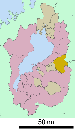 Location of Taga in Shiga Prefecture | |
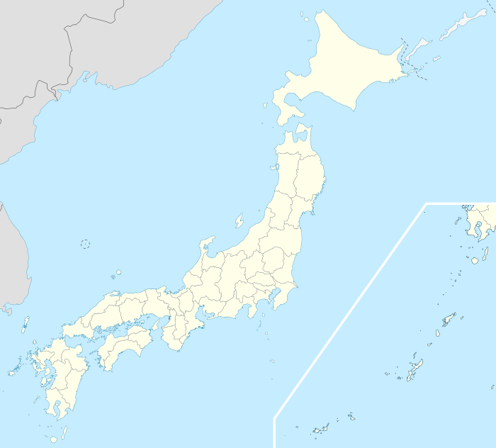 Taga Location in Japan | |
| Coordinates: 35°13′N 136°18′E / 35.217°N 136.300°ECoordinates: 35°13′N 136°18′E / 35.217°N 136.300°E | |
| Country | Japan |
| Region | Kansai |
| Prefecture | Shiga Prefecture |
| District | Inukami |
| Government | |
| • Mayor | Hisayoshi Kubo |
| Area | |
| • Total | 135.93 km2 (52.48 sq mi) |
| Population (2003) | |
| • Total | 8,322 |
| • Density | 61/km2 (160/sq mi) |
| Symbols | |
| • Tree | Cryptomeria |
| • Flower | Lilium japonicum |
| • Bird | Japanese bush-warbler |
| Time zone | Japan Standard Time (UTC+9) |
| City hall address |
342, Taga, Taga-chō, Inukami-gun, Shiga-ken 522-0341 |
| Website |
www |
Taga (多賀町 Taga-chō) is a town located in Inukami District, Shiga Prefecture, Japan. It has developed as a shrine town of Taga-taisha, one of the most famous shrines in Shiga.
As of 2003, the town has an estimated population of 8,322 and a density of 61.22 persons per km2. The total area is 135.93 km2.
References
External links
 Media related to Taga, Shiga at Wikimedia Commons
- Taga official website (Japanese)
- Taga Sightseeing Association (Japanese)
This article is issued from Wikipedia - version of the 12/16/2015. The text is available under the Creative Commons Attribution/Share Alike but additional terms may apply for the media files.