Subprefecture of Aricanduva
For other uses, see Aricanduva (disambiguation).
| Subprefecture of Aricanduva | |
|---|---|
| Subprefecture | |
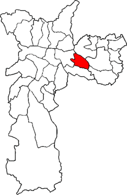 Location of the Subprefecture of Aricanduva in São Paulo | |
 Location of municipality of São Paulo within the State of São Paulo | |
| Country |
|
| Region | Southeast |
| State |
|
| Municipality |
|
| Administrative Zone | Southeast |
| Districts | Aricanduva, Carrão, Vila Formosa |
| Government | |
| • Type | Subprefecture |
| • Subprefect | Jorge Augusto Leme |
| Area | |
| • Total | 22.18 km2 (8.56 sq mi) |
| Population (2008) | |
| • Total | 258,203 |
| Website | Subprefeitura Aricanduva (Portuguese) |
The Subprefecture of Aricanduva is one of 31 subprefectures of the city of São Paulo, Brazil. It comprises three districts: Aricanduva, Carrão, and Vila Formosa.[1] The largest graveyard and the largest shopping mall of the city, Centro Comercial Aricanduva, are located in this region.
References
Coordinates: 23°34′37″S 46°30′41″W / 23.57694°S 46.51139°W
This article is issued from Wikipedia - version of the 7/6/2016. The text is available under the Creative Commons Attribution/Share Alike but additional terms may apply for the media files.