Stockton, Norfolk
| Stockton | |
 Stockton St Michael |
|
 Stockton |
|
| Area | 3.65 km2 (1.41 sq mi) |
|---|---|
| Population | 59 |
| – density | 16/km2 (41/sq mi) |
| OS grid reference | TM391939 |
| Civil parish | Stockton |
| District | South Norfolk |
| Shire county | Norfolk |
| Region | East |
| Country | England |
| Sovereign state | United Kingdom |
| Post town | BECCLES |
| Postcode district | NR34 |
| Police | Norfolk |
| Fire | Norfolk |
| Ambulance | East of England |
| EU Parliament | East of England |
Coordinates: 52°29′26″N 1°31′18″E / 52.49058°N 1.52162°E
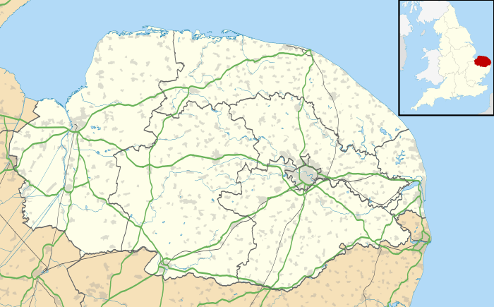
Stockton is a small village in Norfolk, England near the A146, just over 2 miles from Beccles. It covers an area of 3.65 km2 (1.41 sq mi) and had a population of 59 in 25 households at the 2001 census.[1]
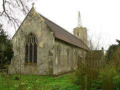
Its church, St Michael, is one of 124 existing round-tower churches in Norfolk.
See also
Notes
- ↑ "Stockton parish information". South Norfolk Council. 29 August 2007. Retrieved 20 June 2009.
External links
| Wikimedia Commons has media related to Stockton, Norfolk. |
This article is issued from Wikipedia - version of the 1/23/2016. The text is available under the Creative Commons Attribution/Share Alike but additional terms may apply for the media files.