Seafield, Eastern Cape
| Seafield | |
|---|---|
 Seafield 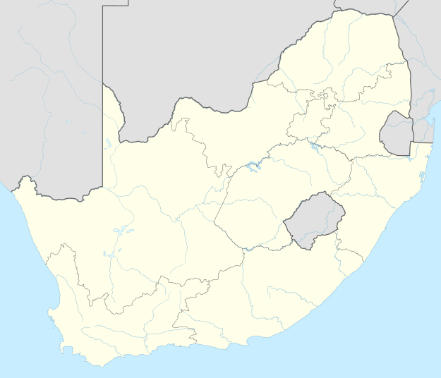 Seafield 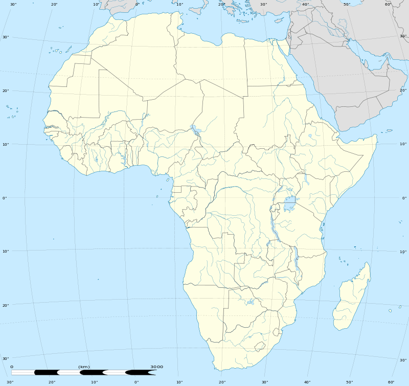 Seafield
| |
| Coordinates: 33°29′31″S 27°07′52″E / 33.492°S 27.131°ECoordinates: 33°29′31″S 27°07′52″E / 33.492°S 27.131°E | |
| Country | South Africa |
| Province | Eastern Cape |
| District | Sarah Baartman |
| Municipality | Ndlambe |
| Area[1] | |
| • Total | 5.76 km2 (2.22 sq mi) |
| Population (2011)[1] | |
| • Total | 296 |
| • Density | 51/km2 (130/sq mi) |
| Racial makeup (2011)[1] | |
| • Black African | 5.1% |
| • Coloured | 1.4% |
| • White | 93.6% |
| First languages (2011)[1] | |
| • English | 78.0% |
| • Afrikaans | 12.2% |
| • Xhosa | 6.4% |
| • Other | 3.4% |
Seafield is a small coastal village in Ndlambe Local Municipality in the Eastern Cape province of South Africa.
References
- 1 2 3 4 "Main Place Seafield". Census 2011.
Municipalities and communities of Sarah Baartman District Municipality, Eastern Cape | ||
|---|---|---|
District seat: Port Elizabeth | ||
| Blue Crane Route | .svg.png) | |
| Dr Beyers Naudé | ||
| Kouga | ||
| Kou-Kamma | ||
| Makana | ||
| Ndlambe | ||
| Sunday's River Valley | ||
This article is issued from Wikipedia - version of the 9/5/2016. The text is available under the Creative Commons Attribution/Share Alike but additional terms may apply for the media files.