San Castle, Florida
| San Castle, Florida | |
|---|---|
| Census-designated place | |
 San Castle, Florida | |
| Coordinates: 26°33′54″N 80°03′40″W / 26.56500°N 80.06111°WCoordinates: 26°33′54″N 80°03′40″W / 26.56500°N 80.06111°W | |
| Country | United States |
| State | Florida |
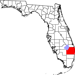
| County | Palm Beach |
| Area[1] | |
| • Total | 0.417 sq mi (1.08 km2) |
| • Land | 0.417 sq mi (1.08 km2) |
| • Water | 0 sq mi (0 km2) |
| Elevation | 23 ft (7 m) |
| Population (2010)[2] | |
| • Total | 3,428 |
| • Density | 8,200/sq mi (3,200/km2) |
| Time zone | Eastern (EST) (UTC-5) |
| • Summer (DST) | EDT (UTC-4) |
| Area code(s) | 561 |
| GNIS feature ID | 2628532[3] |
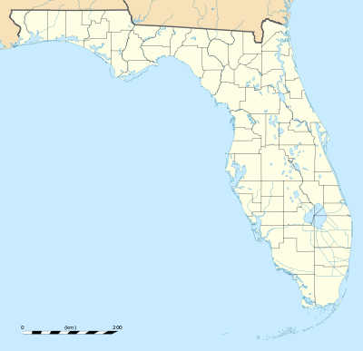
San Castle is a census-designated place in Palm Beach County, Florida, United States. Its population was 3,428 as of the 2010 census.[2] San Castle is located between Interstate 95 and the Intracoastal Waterway; it borders Lantana to the south, Hypoluxo to the east and Boynton Beach to the northeast.[4]
References
- ↑ "2010 Census Gazetteer Files: Florida Places". U.S. Census Bureau. Retrieved June 2, 2014.
- 1 2 "2010 Demographic Profile Data: San Castle CDP, Florida". U.S. Census Bureau. Retrieved June 2, 2014.
- ↑ "San Castle Census Designated Place". Geographic Names Information System. United States Geological Survey.
- ↑ "Reference Maps". U.S. Census Bureau. Retrieved June 3, 2014.
This article is issued from Wikipedia - version of the 8/28/2016. The text is available under the Creative Commons Attribution/Share Alike but additional terms may apply for the media files.