Saint-Claude-de-Diray
| Saint-Claude-de-Diray | ||
|---|---|---|
|
The town hall and school, in Saint-Claude-de-Diray | ||
| ||
 Saint-Claude-de-Diray | ||
|
Location within Centre-Val de Loire region 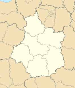 Saint-Claude-de-Diray | ||
| Coordinates: 47°36′56″N 1°25′00″E / 47.6156°N 1.4167°ECoordinates: 47°36′56″N 1°25′00″E / 47.6156°N 1.4167°E | ||
| Country | France | |
| Region | Centre-Val de Loire | |
| Department | Loir-et-Cher | |
| Arrondissement | Blois | |
| Canton | Vineuil | |
| Intercommunality | Pays de Chambord | |
| Area1 | 9.17 km2 (3.54 sq mi) | |
| Population (1999)2 | 1,562 | |
| • Density | 170/km2 (440/sq mi) | |
| Time zone | CET (UTC+1) | |
| • Summer (DST) | CEST (UTC+2) | |
| INSEE/Postal code | 41204 / 41350 | |
| Elevation |
67–94 m (220–308 ft) (avg. 84 m or 276 ft) | |
|
1 French Land Register data, which excludes lakes, ponds, glaciers > 1 km² (0.386 sq mi or 247 acres) and river estuaries. 2 Population without double counting: residents of multiple communes (e.g., students and military personnel) only counted once. | ||
_Mairie-%C3%A9coles.JPG)
.svg.png)
Saint-Claude-de-Diray is a commune in the Loir-et-Cher department of central France.
See also
References
| Wikimedia Commons has media related to Saint-Claude-de-Diray. |
This article is issued from Wikipedia - version of the 2/11/2016. The text is available under the Creative Commons Attribution/Share Alike but additional terms may apply for the media files.