Saint-Apollinaire, Quebec
| Saint-Apollinaire | |
|---|---|
| Municipality | |
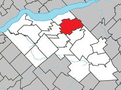 Location within Lotbinière RCM. | |
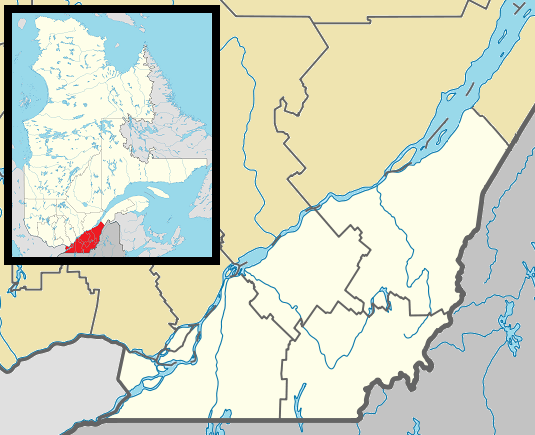 Saint-Apollinaire Location in southern Quebec. | |
| Coordinates: 46°37′N 71°31′W / 46.617°N 71.517°WCoordinates: 46°37′N 71°31′W / 46.617°N 71.517°W[1] | |
| Country |
|
| Province |
|
| Region | Chaudière-Appalaches |
| RCM | Lotbinière |
| Constituted | April 6, 1974 |
| Government[2] | |
| • Mayor | Ginette Moreau |
| • Federal riding | Lévis—Lotbinière |
| • Prov. riding | Lotbinière-Frontenac |
| Area[2][3] | |
| • Total | 97.90 km2 (37.80 sq mi) |
| • Land | 97.17 km2 (37.52 sq mi) |
| Population (2011)[3] | |
| • Total | 5,102 |
| • Density | 52.5/km2 (136/sq mi) |
| • Pop 2006-2011 |
|
| • Dwellings | 2,262 |
| Time zone | EST (UTC−5) |
| • Summer (DST) | EDT (UTC−4) |
| Postal code(s) | G0S 2E0 |
| Area code(s) | 418 and 581 |
| Highways |
|
| Website |
www |
Saint-Apollinaire is a municipality in the Municipalité régionale de comté de Lotbinière in Quebec, Canada. It is part of the Chaudière-Appalaches region and the population is 4,587 as of 2009. It is named after Saint Apollinaris (French: Saint Apollinaire).
History
The area was settled starting in 1850 and Saint-Apollinaire was founded in 1855, after the territory was detached from Saint-Antoine-de-Tilly. In 1974, the village of Francœur joined the municipality, giving it its current shape.
References
- Commission de toponymie du Québec: Saint-Apollinaire (French)
- Ministère des Affaires municipales, des Régions et de l'Occupation du territoire (French)
 |
Saint-Antoine-de-Tilly | | ||
| Notre-Dame-du-Sacré-Cœur-d'Issoudun | |
Lévis | ||
| ||||
| | ||||
| Saint-Flavien | Saint-Agapit | Saint-Gilles |
| Municipalities | |
|---|---|
| Parishes | |
| Villages | |
| |
This article is issued from Wikipedia - version of the 12/4/2015. The text is available under the Creative Commons Attribution/Share Alike but additional terms may apply for the media files.