Saint-Aignan-des-Noyers
| Saint-Aignan-des-Noyers | |
|---|---|
 Saint-Aignan-des-Noyers | |
|
Location within Centre-Val de Loire region 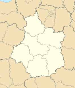 Saint-Aignan-des-Noyers | |
| Coordinates: 46°45′59″N 2°49′01″E / 46.7664°N 2.8169°ECoordinates: 46°45′59″N 2°49′01″E / 46.7664°N 2.8169°E | |
| Country | France |
| Region | Centre-Val de Loire |
| Department | Cher |
| Arrondissement | Saint-Amand-Montrond |
| Canton | Sancoins |
| Intercommunality | Trois Provinces |
| Government | |
| • Mayor (2008–2014) | Stanislas Widowiak |
| Area1 | 10.95 km2 (4.23 sq mi) |
| Population (2008)2 | 99 |
| • Density | 9.0/km2 (23/sq mi) |
| Time zone | CET (UTC+1) |
| • Summer (DST) | CEST (UTC+2) |
| INSEE/Postal code | 18196 / 18600 |
| Elevation |
202–257 m (663–843 ft) (avg. 150 m or 490 ft) |
|
1 French Land Register data, which excludes lakes, ponds, glaciers > 1 km² (0.386 sq mi or 247 acres) and river estuaries. 2 Population without double counting: residents of multiple communes (e.g., students and military personnel) only counted once. | |
Saint-Aignan-des-Noyers is a commune in the Cher department in the Centre region of France.
Geography
A very small farming village situated some 25 miles (40 km) southeast of Bourges, at the junction of the D91 with the D951 road.
Population
| Historical population | ||
|---|---|---|
| Year | Pop. | ±% |
| 1962 | 123 | — |
| 1968 | 128 | +4.1% |
| 1975 | 139 | +8.6% |
| 1982 | 110 | −20.9% |
| 1990 | 84 | −23.6% |
| 1999 | 79 | −6.0% |
| 2008 | 99 | +25.3% |
Sights
- The church, dating from the nineteenth century.
- The ancient medieval village of Venoux.
See also
References
External links
| Wikimedia Commons has media related to Saint-Aignan-des-Noyers. |
- Annuaire Marie website (French)
- Saint-Aignan-des-Noyers on the Quid website (French)
This article is issued from Wikipedia - version of the 3/15/2016. The text is available under the Creative Commons Attribution/Share Alike but additional terms may apply for the media files.