Pigny
| Pigny | ||
|---|---|---|
| ||
 Pigny | ||
|
Location within Centre-Val de Loire region 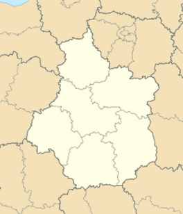 Pigny | ||
| Coordinates: 47°10′14″N 2°26′54″E / 47.1706°N 2.4483°ECoordinates: 47°10′14″N 2°26′54″E / 47.1706°N 2.4483°E | ||
| Country | France | |
| Region | Centre-Val de Loire | |
| Department | Cher | |
| Arrondissement | Bourges | |
| Canton | Saint-Martin-d'Auxigny | |
| Intercommunality | Terres Vives | |
| Government | ||
| • Mayor (2014–2020) | Bernard Rousseau | |
| Area1 | 8.08 km2 (3.12 sq mi) | |
| Population (2012)2 | 838 | |
| • Density | 100/km2 (270/sq mi) | |
| Time zone | CET (UTC+1) | |
| • Summer (DST) | CEST (UTC+2) | |
| INSEE/Postal code | 18179 / 18110 | |
| Elevation |
144–213 m (472–699 ft) (avg. 210 m or 690 ft) | |
|
1 French Land Register data, which excludes lakes, ponds, glaciers > 1 km² (0.386 sq mi or 247 acres) and river estuaries. 2 Population without double counting: residents of multiple communes (e.g., students and military personnel) only counted once. | ||
.svg.png)
Pigny is a commune in the Cher department in the Centre region of France.
Geography
A farming village situated some 7 miles (11 km) northeast of Bourges, at the junction of the D11 and the D131 roads.
Population
| Historical population | ||
|---|---|---|
| Year | Pop. | ±% |
| 1962 | 343 | — |
| 1968 | 361 | +5.2% |
| 1975 | 428 | +18.6% |
| 1982 | 597 | +39.5% |
| 1990 | 674 | +12.9% |
| 1999 | 715 | +6.1% |
| 2008 | 740 | +3.5% |
Sights
- The church of St. Pierre, dating from the nineteenth century.
- The nineteenth-century chateau.
See also
References
External links
| Wikimedia Commons has media related to Pigny. |
- Pigny on the Quid website (French)
This article is issued from Wikipedia - version of the 4/12/2015. The text is available under the Creative Commons Attribution/Share Alike but additional terms may apply for the media files.