Pinto Bandeira
| Pinto Bandeira | |
|---|---|
| Municipality | |
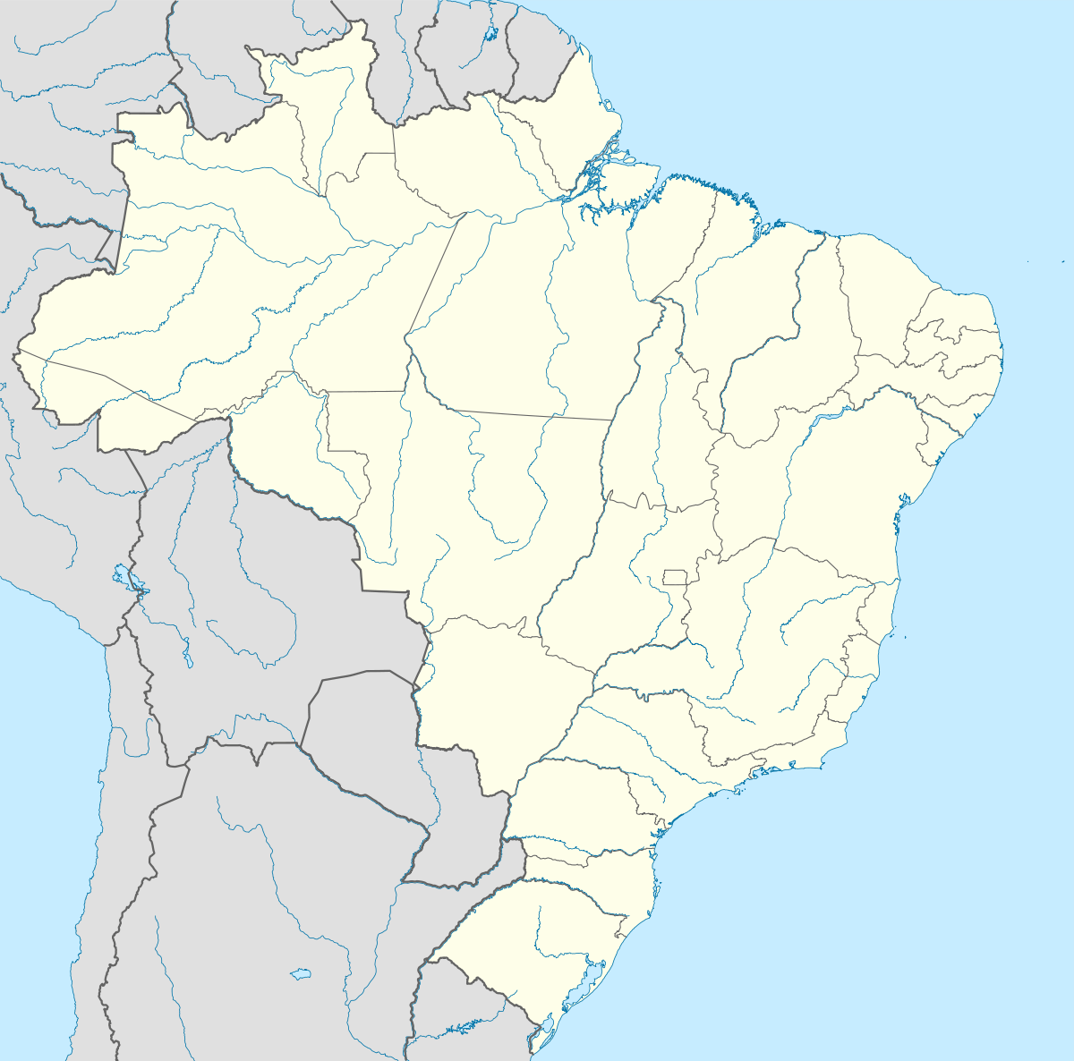 Pinto Bandeira Location in Brazil | |
| Coordinates: 29°5′52″S 51°27′1″W / 29.09778°S 51.45028°WCoordinates: 29°5′52″S 51°27′1″W / 29.09778°S 51.45028°W | |
| Country |
|
| Region | South Region |
| State | Rio Grande do Sul |
| Area | |
| • Total | 105 km2 (41 sq mi) |
| Population (2015) | |
| • Total | 2,824 |
| • Density | 27/km2 (70/sq mi) |
| Time zone | BRT/BRST (UTC-3/-2) |
Pinto Bandeira is a municipality in the state Rio Grande do Sul, Brazil. Its population was 2,824 (2015) and its area is 105 km2.[1]
See also
References
- ↑ "IBGE | Cidades | Rio Grande do Sul | Pinto Bandeira". cidades.ibge.gov.br. Retrieved 2016-05-29.

This article is issued from Wikipedia - version of the 5/29/2016. The text is available under the Creative Commons Attribution/Share Alike but additional terms may apply for the media files.