Ovesná Lhota
| Ovesná Lhota | |||
|---|---|---|---|
| Municipality | |||
| |||
 Ovesná Lhota | |||
| Coordinates: 49°43′27″N 15°22′45″E / 49.72417°N 15.37917°ECoordinates: 49°43′27″N 15°22′45″E / 49.72417°N 15.37917°E | |||
| Country |
| ||
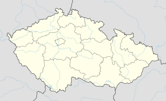
| Region | Vysočina | ||
| District | Havlíčkův Brod | ||
| Area | |||
| • Total | 5.59 km2 (2.16 sq mi) | ||
| Elevation | 540 m (1,770 ft) | ||
| Population (1.1.2014) | |||
| • Total | 193 | ||
| • Density | 35/km2 (89/sq mi) | ||
| Postal code | 582 91 | ||


Ovesná Lhota is a village and municipality (obec) in Havlíčkův Brod District in the Vysočina Region of the Czech Republic.
The municipality covers an area of 5.59 square kilometres (2.16 sq mi), and has a population of 197 (as at 3 July 2006).
Ovesná Lhota lies approximately 20 kilometres (12 mi) north-west of Havlíčkův Brod, 40 km (25 mi) north-west of Jihlava, and 80 km (50 mi) south-east of Prague.
References
This article is issued from Wikipedia - version of the 4/7/2016. The text is available under the Creative Commons Attribution/Share Alike but additional terms may apply for the media files.