Omar, Delaware
| Omar | |
|---|---|
| Unincorporated community | |
|
Intersection of Delaware Route 20 and Omar Road in Omar | |
 Omar  Omar Location within the state of Delaware | |
| Coordinates: 38°31′38″N 75°11′59″W / 38.52722°N 75.19972°WCoordinates: 38°31′38″N 75°11′59″W / 38.52722°N 75.19972°W | |
| Country | United States |
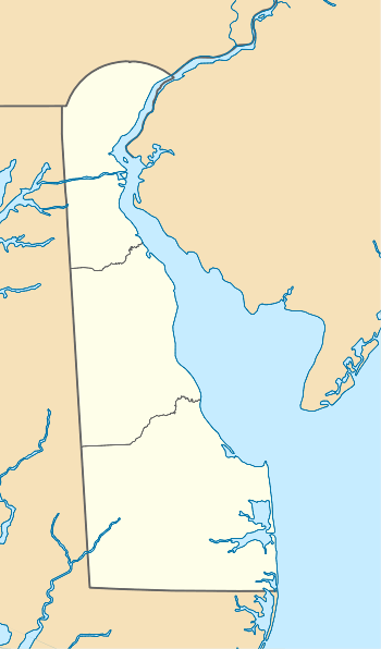
| State | Delaware |
| County | Sussex |
| Time zone | Eastern (EST) (UTC-5) |
| • Summer (DST) | EDT (UTC-4) |
| GNIS feature ID | 216170[1] |
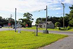
Omar is an unincorporated community in Sussex County, Delaware, United States, located at the crossroads of Delaware Route 20 (Armory Road/Pyle Center Road) and Sussex County Road 54 (Omar Road) and between the towns of Dagsboro and Roxana.[1]
The Baltimore Mills Historic Archaeological Site was added to the National Register of Historic Places in 1997.[2]
References
- 1 2 "Omar". Geographic Names Information System. United States Geological Survey.
- ↑ National Park Service (2010-07-09). "National Register Information System". National Register of Historic Places. National Park Service.
This article is issued from Wikipedia - version of the 7/31/2016. The text is available under the Creative Commons Attribution/Share Alike but additional terms may apply for the media files.