North Tuddenham
For other places with the same name, see Tuddenham.
| North Tuddenham | |
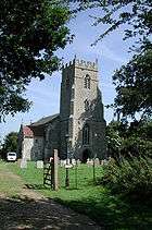 St Mary the Virgin church, North Tuddenham |
|
 North Tuddenham |
|
| Area | 9.41 km2 (3.63 sq mi) |
|---|---|
| Population | 335 (2011)[1] |
| – density | 36/km2 (93/sq mi) |
| OS grid reference | TG039040 |
| Civil parish | North Tuddenham |
| District | Breckland |
| Shire county | Norfolk |
| Region | East |
| Country | England |
| Sovereign state | United Kingdom |
| Post town | NORWICH |
| Postcode district | NR9 |
| Police | Norfolk |
| Fire | Norfolk |
| Ambulance | East of England |
| EU Parliament | East of England |
Coordinates: 52°35′44″N 1°00′33″E / 52.59553°N 1.00906°E
North Tuddenham is a civil parish in the English county of Norfolk, it has a parish church, that is named St Mary's.[2]
It covers an area of 9.41 km2 (3.63 sq mi) and had a population of 305 in 121 households at the 2001 census,[3] increasing to a population of 335 in 138 households at the 2011 Census. For the purposes of local government, it falls within the district of Breckland.
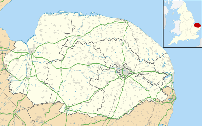
North Tuddenham is 3 miles (4.8 km) east of East Dereham, and is close to the A47 road.
Notes
- ↑ "Civil Parish population 2011". Neighbourhood Statistics. Office for National Statistics. Retrieved 9 August 2016.
- ↑ GENUKI
- ↑ Census population and household counts for unparished urban areas and all parishes. Office for National Statistics & Norfolk County Council (2001). Retrieved 20 June 2009.
External links
| Wikimedia Commons has media related to North Tuddenham. |
- GENUKI(tm) page
- Map sources for North Tuddenham
 |
Swanton Morley | Bylaugh | Elsing, Lyng | |
| East Dereham | |
Hockering | ||
| ||||
| | ||||
| Yaxham | Mattishall |
This article is issued from Wikipedia - version of the 8/9/2016. The text is available under the Creative Commons Attribution/Share Alike but additional terms may apply for the media files.