Didlington
| Didlington | |
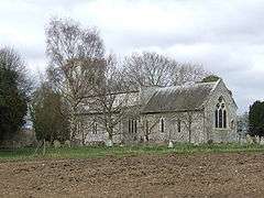 St Michael's church, Didlington |
|
 Didlington |
|
| Area | 11.07 km2 (4.27 sq mi) |
|---|---|
| Population | 48 (2001 census[1]) |
| – density | 4/km2 (10/sq mi) |
| OS grid reference | TL7821097350 |
| District | Breckland |
| Shire county | Norfolk |
| Region | East |
| Country | England |
| Sovereign state | United Kingdom |
| Post town | Swaffham |
| Postcode district | IP26 |
| Dialling code | 01842 |
| Police | Norfolk |
| Fire | Norfolk |
| Ambulance | East of England |
| EU Parliament | East of England |
| UK Parliament | South West Norfolk |
Coordinates: 52°32′41″N 0°37′36″E / 52.544831°N 0.626654°E
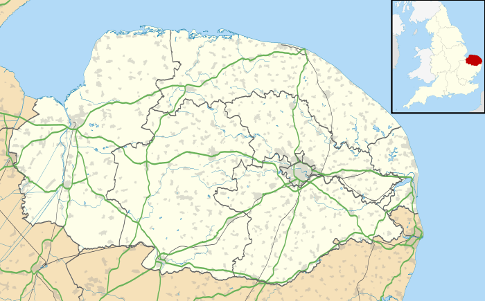
Didlington is a village in the Breckland district of mid-Norfolk, East Anglia, England in the United Kingdom. It has an area of 11.07 km2 (4.27 sq mi) with a population of 48.[1] At the 2011 Census the minimal population was included in the civil parish of Ickburgh.
The village is served by St.Michaels church in the Benefice of Cockley Cley.[2]
 |
Gooderstone Foulden |
Cockley Cley | Hilborough | |
| Northwold | |
Bodney | ||
| ||||
| | ||||
| Methwold | Cranwich | Ickburgh Mundford |
References
- 1 2 "Census population and household counts for unparished urban areas and all parishes". Office for National Statistics & Norfolk County Council. 2001. Retrieved 20 June 2009. (Excel XLS format)
- ↑ Benefice of Cockley Cley
This article is issued from Wikipedia - version of the 8/2/2016. The text is available under the Creative Commons Attribution/Share Alike but additional terms may apply for the media files.