Nisi, Elis
For other uses, see Nisi.
| Nisi Νησί | |
|---|---|
 Nisi | |
| Coordinates: 37°59′N 21°25′E / 37.983°N 21.417°ECoordinates: 37°59′N 21°25′E / 37.983°N 21.417°E | |
| Country | Greece |
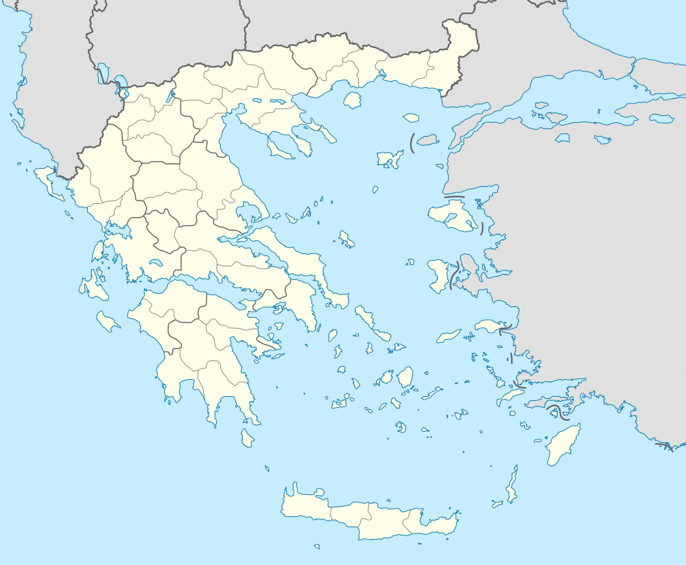
| Administrative region | West Greece |
| Regional unit | Elis |
| Municipality | Andravida-Kyllini |
| Municipal unit | Vouprasia |
| Population (2011)[1] | |
| • Rural | 203 |
| Community[1] | |
| • Population | 352 (2011) |
| Time zone | EET (UTC+2) |
| • Summer (DST) | EEST (UTC+3) |
Nisi (Greek: Νησί) is a village and a community in the municipal unit of Vouprasia, Elis, Greece. It is situated in low hills, 4 km south of Neapoli, 8 km northwest of Aetorrachi, 7 km southeast of Varda and 35 km north of Pyrgos. In 2001 Nisi had a population of 203 for the village and 352 for the community, which includes the small villages Agia Marina, Agios Athanasios, Karavoulaiika and Kremmydi.
Population
| Year | Village population | Community population |
|---|---|---|
| 1981 | - | 620 |
| 1991 | 378 | - |
| 2001 | 378 | 661 |
| 2011 | 203 | 352 |
External links
See also
References
- 1 2 "Απογραφή Πληθυσμού - Κατοικιών 2011. ΜΟΝΙΜΟΣ Πληθυσμός" (in Greek). Hellenic Statistical Authority.
This article is issued from Wikipedia - version of the 10/7/2016. The text is available under the Creative Commons Attribution/Share Alike but additional terms may apply for the media files.