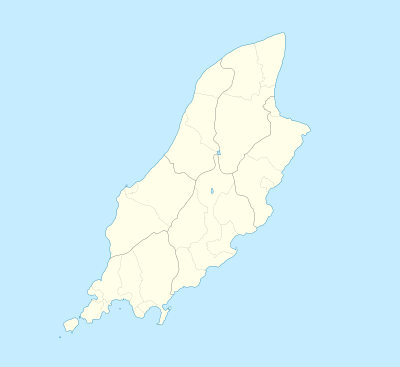
Newtown, Isle of Man
| Newtown | |
| Manx: Balley Noa | |
 Newtown |
|
| Population | (2006 Census) |
|---|---|
| OS grid reference | SC324736 |
| Parish | Santon |
| Sheading | Middle |
| Crown dependency | Isle of Man |
| Post town | ISLE OF MAN |
| Postcode district | IM4 |
| Dialling code | 01624 |
| Police | Isle of Man |
| Fire | Isle of Man |
| Ambulance | Isle of Man |
| House of Keys | Middle |
|
|
Coordinates: 54°07′51″N 4°34′00″W / 54.1309°N 4.5666°W
Newtown (Manx: Balley Noa) is a community within the parish of Santon, Isle of Man. To the northern part of the community lies Mount Murray and to the north-west the Broogh Fort (54°08′09″N 4°34′39″W / 54.135776°N 4.577453°W) - an iron age fort dating from the 13th century.
This article is issued from Wikipedia - version of the 5/9/2014. The text is available under the Creative Commons Attribution/Share Alike but additional terms may apply for the media files.